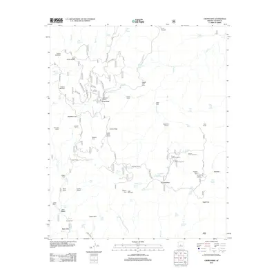
2012 Map of Crown King
USGS Topo · Published 2012About this map
Crown King sits at the heart of this high-elevation landscape, where the S Senator Hwy winds through the southern Bradshaw Mountains. This 2012 survey captures the transition between the mining legacies of Bradshaw City and the modern recreational identity of Horsethief Basin. The terrain is defined by extreme relief, from the heights of Towers Mountain and Wasson Peak down into the deep incisions of Hells Hole and Horsethief Canyon. Genealogists and local historians will find the location of both the Crown King Cem and Bradshaw City Cem, alongside historic outposts like Fort Misery and Kentucks Cabin. The presence of the Horsethief Lookout Tower and multiple campgrounds such as Hazlett Hollow Campground near Horsethief Lake illustrates the area's development into a major mountain retreat.
Find a feature on this map
87 named features on this map. Tap any name to fly to it.
Don’t see what you’re looking for? This feature index may not catch every label — zoom into the map to look around manually.
Map Details
Editions of this 2012 Crown King Map
This is the sole edition of this map. No revisions or reprints were ever made.
Other maps of this area

1887 · Prescott
USGS Topo · 1:250,000

1892 · Prescott
USGS Topo · 1:250,000

1903 · Bradshaw Mountains
USGS Topo · 1:125,000

1947 · Crown King
USGS Topo · 1:62,500

1947 · Bumblebee
USGS Topo · 1:62,500

1947 · Mayer
USGS Topo · 1:62,500

1947 · Mt. Union
USGS Topo · 1:62,500

1948 · Bumblebee
USGS Topo · 1:63,360

1948 · Crown King
USGS Topo · 1:63,360

1948 · Mt. Union
USGS Topo · 1:63,360