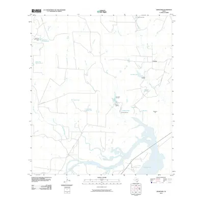
2010 Map of Crowther
USGS Topo · Published 2010About this map
The settlement of Crowther serves as a small anchor point in this corner of McMullen County, where the landscape is defined by the winding course of the Frio River and the expansive Yarbrough Lake. This area of South Texas features a complex network of ephemeral drainages and stock tanks, suggesting a ranching economy reliant on carefully managed water resources. Water features with evocative names like Pot of Gold Tank, Van Meter Tank, and Persimmon Hollow Tank dot the brushy terrain, which rises gradually toward Opossum Hill. Several larger impoundments, including Gubel Trust Lake Number 2 and Gubel Trust Lake Number 3, indicate significant local land management and private trusts. The convergence of San Miguel Creek and Mustang Branch near the river floodplain highlights the hydrologic importance of this drainage basin within the coastal plain environment.
Find a feature on this map
30 named features on this map. Tap any name to fly to it.
Don’t see what you’re looking for? This feature index may not catch every label — zoom into the map to look around manually.
Map Details
Editions of this 2010 Crowther Map
This is the sole edition of this map. No revisions or reprints were ever made.
Other maps of this area

1920 · Mikeska
USGS Topo · 1:125,000

1925 · Simmons No. 1
USGS Topo · 1:48,000

1925 · Tilden No. 1
USGS Topo · 1:48,000

1925 · Crowther No. 3
USGS Topo · 1:48,000

1925 · Simmons No. 2
USGS Topo · 1:48,000

1929 · Simmons
USGS Topo · 1:62,500

1930 · Tilden
USGS Topo · 1:62,500

1930 · Whitsett
USGS Topo · 1:62,500

1942 · Tilden
USGS Topo · 1:62,500

1942 · Whitsett
USGS Topo · 1:62,500