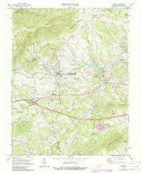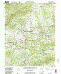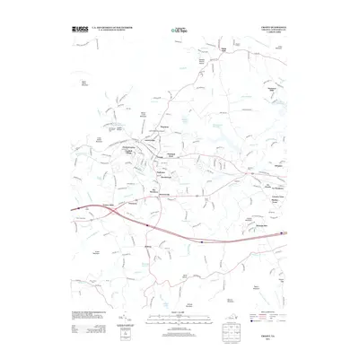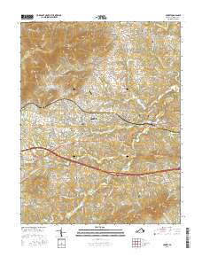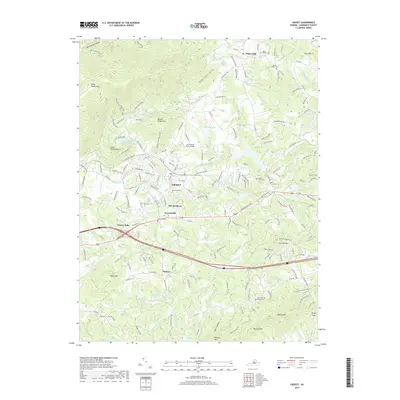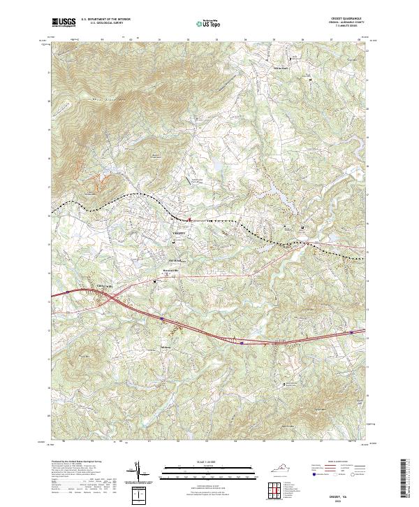
1965 Map of Crozet
USGS Topo · Published 1967About this map
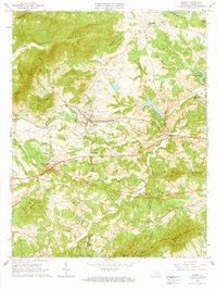
The Chesapeake and Ohio railroad corridor anchors this survey of central Albemarle County, linking the growing community of Crozet with rural outposts like White Hall and Yancey Mills. The landscape is a transition from the rolling Piedmont hills to the steep rises of Little Yellow Mtn and Beaver Creek Mtn. The detailed mapping captures a traditional Southern rural economy moving toward modernization, evidenced by the proximity of the historic Miller School campus and numerous country churches like Mt Moriah Ch and Mt Olivet Ch to new industrial features like a Radio Tower and Substation.
Find a feature on this map
57 named features on this map. Tap any name to fly to it.
Don’t see what you’re looking for? This feature index may not catch every label — zoom into the map to look around manually.
Map Details
Editions of this 1965 Crozet Map
This is the sole edition of this map. No revisions or reprints were ever made.
Historical Maps of Crozet Through Time
9 maps found