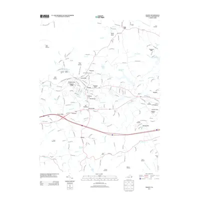
1977 Map of Crozet
USGS Topo · Published 1982About this map
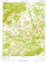
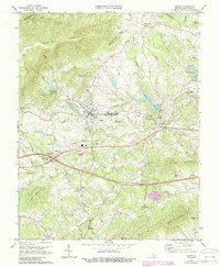
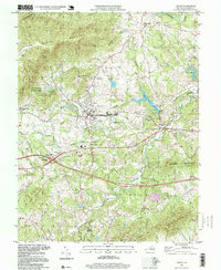
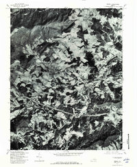
Crozet and its surrounding orchard and farm lands are captured here in the late 1970s, showcasing a landscape defined by the transition from the Blue Ridge foothills to the Piedmont. The settlement patterns follow the drainages of Lickinghole Creek and Mechums River, with long-standing communities like White Hall and Yancey Mills situated along established corridors. To the northwest, the massive shoulder of Bucks Elbow Mountain looms over the valley, while the development of Beaver Creek Reservoir and Lake Albemarle reflects mid-century water management and recreation. This orthophotoquad provides an unfiltered visual record of land use, from the dense woodlots on steep slopes to the geometric patterns of clearings near Brownsville and Midway, preserving a specific moment in Albemarle County's rural history.
Find a feature on this map
14 named features on this map. Tap any name to fly to it.
Don’t see what you’re looking for? This feature index may not catch every label — zoom into the map to look around manually.
Map Details
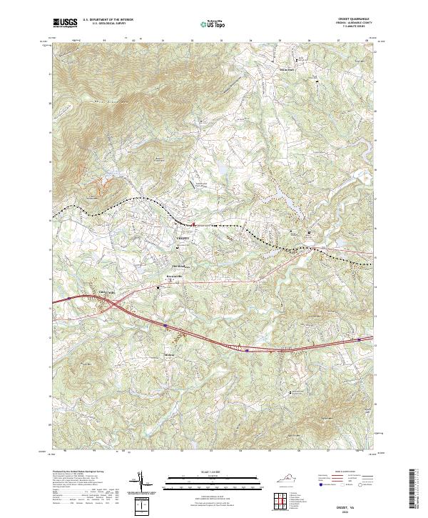
Editions of this 1977 Crozet Map
This is the sole edition of this map. No revisions or reprints were ever made.
Historical Maps of Crozet Through Time
9 maps found