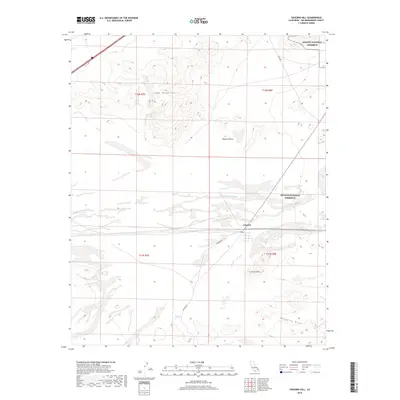
2018 Map of Crucero Hill
USGS Topo · Published 2018About this map
Crucero sits at a critical junction in the arid expanse of the Mojave Desert, where the Mojave River Wash cuts through the landscape. This 2018 survey reveals a terrain defined by stark topographic shifts, from the heights of the Soda Mountains in the north to the Mesquite Hills and the prominent Crucero Hill further south. The map documents a sparsely populated area where human presence is mostly defined by infrastructure, including Crucero Rd and Front St, which intersect near the townsite.
Find a feature on this map
15 named features on this map. Tap any name to fly to it.
Don’t see what you’re looking for? This feature index may not catch every label — zoom into the map to look around manually.
Map Details
Editions of this 2018 Crucero Hill Map
This is the sole edition of this map. No revisions or reprints were ever made.
Other maps of this area

1933 · Avawatz Mountains
USGS Topo · 1:250,000

1947 · Trona
USGS Topo · 1:250,000

1948 · Trona
USGS Topo · 1:250,000

1948 · Cave Mountain
USGS Topo · 1:62,500

1951 · Cave Mountain
USGS Topo · 1:62,500

1953 · San Bernardino
USGS Topo · 1:250,000

1953 · Trona
USGS Topo · 1:250,000

1955 · Cady Mountains
USGS Topo · 1:62,500

1955 · Broadwell Lake
USGS Topo · 1:62,500

1956 · San Bernardino
USGS Topo · 1:250,000