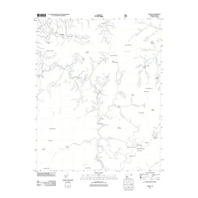
2011 Map of Cruso
USGS Topo · Published 2011About this map
Cruso and the valley of the East Fork Pigeon River serve as the central corridor for this mountain landscape, where deep coves and high ridges have dictated the pattern of local settlement for generations. The map reveals a cluster of family-centered landmarks such as Longs Cemetery, Quinn Cemetery, and Mount Zion Cemetery, which anchor the small communities found in Smoky Cove, Burnett Cove, and Bens Cove. To the south, Camp Hope sits along the river near the convergence of Ugly Creek and Hungry Creek.
Find a feature on this map
127 named features on this map. Tap any name to fly to it.
Don’t see what you’re looking for? This feature index may not catch every label — zoom into the map to look around manually.
Map Details
Editions of this 2011 Cruso Map
This is the sole edition of this map. No revisions or reprints were ever made.
Other maps of this area

1894 · Asheville
USGS Topo · 1:125,000

1901 · Asheville
USGS Topo · 1:125,000

1905 · Pisgah
USGS Topo · 1:125,000

1906 · Pisgah
USGS Topo · 1:125,000

1935 · Cruso
USGS Topo · 1:24,000

1935 · Waynesville
USGS Topo · 1:24,000

1935 · Canton
USGS Topo · 1:24,000

1935 · Sam Knob
USGS Topo · 1:24,000

1935 · Clyde
USGS Topo · 1:24,000

1935 · Shining Rock
USGS Topo · 1:24,000