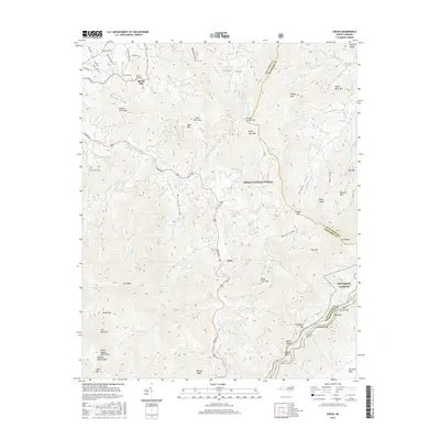
2016 Map of Cruso
USGS Topo · Published 2016About this map
Cruso and Spring Hill sit within a landscape defined by the steep valleys of the East Fork Pigeon River and its many tributaries, such as Dutch Cove Cr and Garden Cr. Much of the territory is managed as the Pisgah National Forest, including the high-altitude reaches of Cold Mtn and the Great Balsam Mountains. The mapping detail captures important genealogical sites, including Spring Hill Cem, Longs Cem, Quinn Cem, and Mount Zion Cem, which are often tied to early settlement families in the coves. The modern transportation corridor of the Blue Ridge Parkway winds through the southeastern portion of the quadrangle, notably passing through the Frying Pan Tunnel near Mt Pisgah. This combination of protected wilderness and established mountain communities provides a clear view of the area's mid-2010s land-use patterns.
Find a feature on this map
84 named features on this map. Tap any name to fly to it.
Don’t see what you’re looking for? This feature index may not catch every label — zoom into the map to look around manually.
Map Details
Editions of this 2016 Cruso Map
This is the sole edition of this map. No revisions or reprints were ever made.
Other maps of this area

1894 · Asheville
USGS Topo · 1:125,000

1901 · Asheville
USGS Topo · 1:125,000

1905 · Pisgah
USGS Topo · 1:125,000

1906 · Pisgah
USGS Topo · 1:125,000

1935 · Cruso
USGS Topo · 1:24,000

1935 · Waynesville
USGS Topo · 1:24,000

1935 · Canton
USGS Topo · 1:24,000

1935 · Sam Knob
USGS Topo · 1:24,000

1935 · Clyde
USGS Topo · 1:24,000

1935 · Shining Rock
USGS Topo · 1:24,000