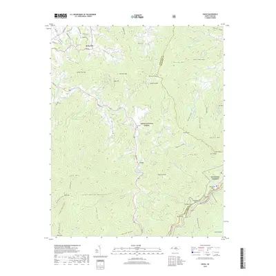
2019 Map of Cruso
USGS Topo · Published 2019About this map
Cruso Rd and the East Fork Pigeon River trace a path through the steep drainages of the southern Appalachian Mountains, anchored by the small settlements of Spring Hill and Cruso. This high-altitude landscape is characterized by narrow coves and ridges that descend from the Great Balsam Mountains and the boundary of the Pisgah National Forest. The geography reveals a legacy of mountain families through a network of small burial grounds, including Spring Hill Cem, Longs Cem, Mount Zion Cem, and Gwyn Cem.
Find a feature on this map
90 named features on this map. Tap any name to fly to it.
Don’t see what you’re looking for? This feature index may not catch every label — zoom into the map to look around manually.
Map Details
Editions of this 2019 Cruso Map
This is the sole edition of this map. No revisions or reprints were ever made.
Other maps of this area

1894 · Asheville
USGS Topo · 1:125,000

1901 · Asheville
USGS Topo · 1:125,000

1905 · Pisgah
USGS Topo · 1:125,000

1906 · Pisgah
USGS Topo · 1:125,000

1935 · Cruso
USGS Topo · 1:24,000

1935 · Waynesville
USGS Topo · 1:24,000

1935 · Canton
USGS Topo · 1:24,000

1935 · Sam Knob
USGS Topo · 1:24,000

1935 · Clyde
USGS Topo · 1:24,000

1935 · Shining Rock
USGS Topo · 1:24,000