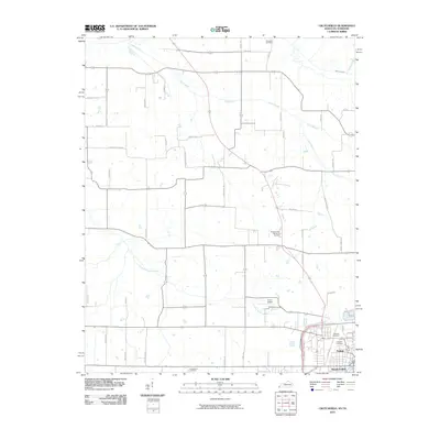
2010 Map of Crutchfield
USGS Topo · Published 2010About this map
Fulton and South Fulton anchor the southeastern corner of this landscape, marking the historic border region where Kentucky and Tennessee meet. This 2010 survey highlights a town structure shaped by the crossing of major corridors, including the Purchase Pkwy and several rail lines. The surrounding terrain is defined by the winding paths of Bayou de Chien and Cane Creek, which cut through a predominantly agricultural interior networked by family-named routes like Tommy Rd and Taylor Hill Rd. Genealogists will find significant value in the distribution of local burial grounds, ranging from the large Fairview Cemetery and Greenlea Cemetery within the municipal limits to more remote sites such as Crossland Cemetery and Huddleston Cemetery. The presence of the Fulton Airport near Little Bayou de Chien illustrates the modern infrastructure serving this rural transportation hub.
Find a feature on this map
47 named features on this map. Tap any name to fly to it.
Don’t see what you’re looking for? This feature index may not catch every label — zoom into the map to look around manually.
Map Details
Editions of this 2010 Crutchfield Map
This is the sole edition of this map. No revisions or reprints were ever made.
Other maps of this area

1939 · Hickman
USGS Topo · 1:62,500

1951 · Cayce
USGS Topo · 1:24,000

1951 · Oakton
USGS Topo · 1:24,000

1952 · Clinton
USGS Topo · 1:24,000

1952 · Dublin
USGS Topo · 1:24,000

1952 · Crutchfield
USGS Topo · 1:24,000

1952 · Water Valley
USGS Topo · 1:24,000

1952 · Water Valley
USGS Topo · 1:62,500

1954 · Union City
USGS Topo · 1:24,000

1954 · Hickman
USGS Topo · 1:62,500