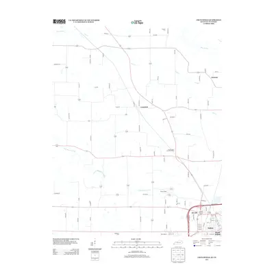
2013 Map of Crutchfield
USGS Topo · Published 2013About this map
Fulton and its cross-border counterpart South Fulton anchor the southern edge of this West Kentucky landscape, where the flatlands of the Mississippi Embayment begin to rise. In the early 21st century, this corridor remains defined by the winding course of Bayou de Chien and its tributary, Little Bayou de Chien. The rural character of the region is punctuated by small settlements such as Crutchfield and Beelerton, connected by a network of farm roads like Bockman Rd and Roberts Rd. Local genealogy is well-represented through numerous burial sites, including Crossland Cem and Huddleston Cem, while the modern infrastructure of Fulton Airport and the neighborhood of Riceville show the continued development of this transit-heavy area near the Tennessee state line.
Find a feature on this map
86 named features on this map. Tap any name to fly to it.
Don’t see what you’re looking for? This feature index may not catch every label — zoom into the map to look around manually.
Map Details
Editions of this 2013 Crutchfield Map
This is the sole edition of this map. No revisions or reprints were ever made.
Other maps of this area

1939 · Hickman
USGS Topo · 1:62,500

1951 · Cayce
USGS Topo · 1:24,000

1951 · Oakton
USGS Topo · 1:24,000

1952 · Clinton
USGS Topo · 1:24,000

1952 · Dublin
USGS Topo · 1:24,000

1952 · Crutchfield
USGS Topo · 1:24,000

1952 · Water Valley
USGS Topo · 1:24,000

1952 · Water Valley
USGS Topo · 1:62,500

1954 · Union City
USGS Topo · 1:24,000

1954 · Hickman
USGS Topo · 1:62,500