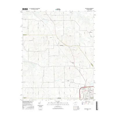
2016 Map of Crutchfield
USGS Topo · Published 2016About this map
Fulton and South Fulton anchor the southeastern corner of this map, straddling the historic state line between Kentucky and Tennessee. This borderland region is defined by the winding course of Bayou de Chien and its tributaries, including Little Bayou de Chien and Cane Creek, which drain the low-lying agricultural landscape. The settlement of Crutchfield sits near the center, while smaller communities like Beelerton and Riceville mark the rural crossroads. Local genealogy is supported by several burial grounds including Crossland Cem, Huddleston Cem, and the Pleasant View Memorial Gardens. Transportation is a key theme, with the Fulton Airport and a dense network of county roads like Clinton Moscow Rd and Sawmill Rd connecting the scattered farmsteads and small towns of Fulton County.
Find a feature on this map
69 named features on this map. Tap any name to fly to it.
Don’t see what you’re looking for? This feature index may not catch every label — zoom into the map to look around manually.
Map Details
Editions of this 2016 Crutchfield Map
This is the sole edition of this map. No revisions or reprints were ever made.
Other maps of this area

1939 · Hickman
USGS Topo · 1:62,500

1951 · Cayce
USGS Topo · 1:24,000

1951 · Oakton
USGS Topo · 1:24,000

1952 · Clinton
USGS Topo · 1:24,000

1952 · Dublin
USGS Topo · 1:24,000

1952 · Crutchfield
USGS Topo · 1:24,000

1952 · Water Valley
USGS Topo · 1:24,000

1952 · Water Valley
USGS Topo · 1:62,500

1954 · Union City
USGS Topo · 1:24,000

1954 · Hickman
USGS Topo · 1:62,500