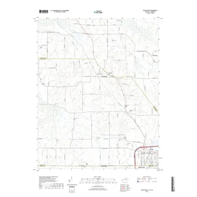
2019 Map of Crutchfield
USGS Topo · Published 2019About this map
The borderlands of Kentucky and Tennessee meet at the connected communities of Fulton and South Fulton, where a dense network of residential streets gives way to the agricultural drainage of Bayou de Chien. This 2019 survey captures the geographic complexity of the region, where the Hickman and Fulton County line intersects rural corridors like Moscow Water Valley Rd. The landscape is dotted with ancestral burial sites that provide a roadmap for local genealogists, including the Binford Family Cem near Crutchfield and the Isham Browder Grave along the state line. The presence of Fulton Airport and varied waterways such as Little Bayou de Chien and Cane Cr illustrate how modern transit and natural hydrology continue to shape these border townships.
Find a feature on this map
52 named features on this map. Tap any name to fly to it.
Don’t see what you’re looking for? This feature index may not catch every label — zoom into the map to look around manually.
Map Details
Editions of this 2019 Crutchfield Map
This is the sole edition of this map. No revisions or reprints were ever made.
Other maps of this area

1939 · Hickman
USGS Topo · 1:62,500

1951 · Cayce
USGS Topo · 1:24,000

1951 · Oakton
USGS Topo · 1:24,000

1952 · Clinton
USGS Topo · 1:24,000

1952 · Dublin
USGS Topo · 1:24,000

1952 · Crutchfield
USGS Topo · 1:24,000

1952 · Water Valley
USGS Topo · 1:24,000

1952 · Water Valley
USGS Topo · 1:62,500

1954 · Union City
USGS Topo · 1:24,000

1954 · Hickman
USGS Topo · 1:62,500