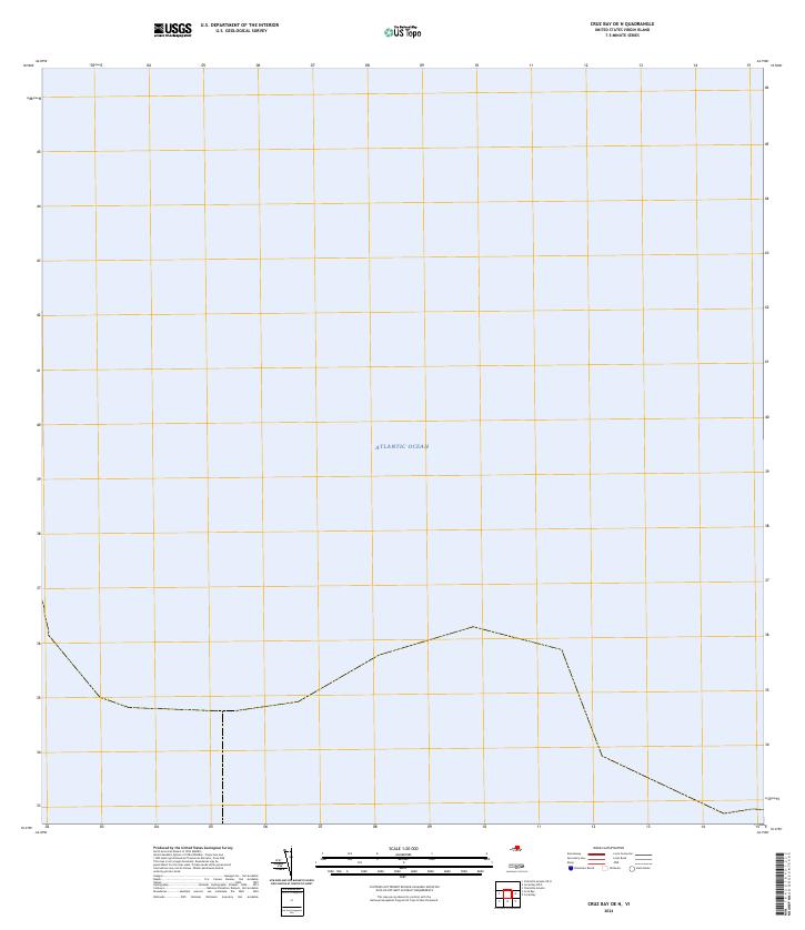
2024 Map of Cruz Bay OE N
USGS Topo · Published 2024About this map
The Atlantic Ocean dominates this maritime survey, which focuses on the protected waters surrounding the northern shores of the Virgin Islands. This map delineates the maritime boundary of the Virgin Islands Coral Reef National Monument, an area dedicated to the preservation of complex underwater ecosystems and seagrass beds. Unlike traditional topographic maps centered on land-based settlements, this sheet serves primarily as a hydrographic record of territorial waters and marine conservation zones. The presence of the national monument boundary indicates the federal commitment to protecting the Caribbean's marine biodiversity in the 21st century, providing a clear reference for researchers and conservationists monitoring these protected offshore environments.
Find a feature on this map
2 named features on this map. Tap any name to fly to it.
Don’t see what you’re looking for? This feature index may not catch every label — zoom into the map to look around manually.
Map Details
Editions of this 2024 Cruz Bay OE N Map
This is the sole edition of this map. No revisions or reprints were ever made.
Other maps of this area
1954 · Eastern St. Thomas
USGS Topo · 1:24,000
1958 · Western St. John
USGS Topo · 1:24,000
2013 · Charlotte Amalie
USGS Topo · 1:20,000
2013 · Cruz Bay OE N
USGS Topo · 1:20,000
2013 · Coral Bay
USGS Topo · 1:20,000
2013 · Cruz Bay
USGS Topo · 1:20,000
2013 · Coral Bay OE N
USGS Topo · 1:20,000
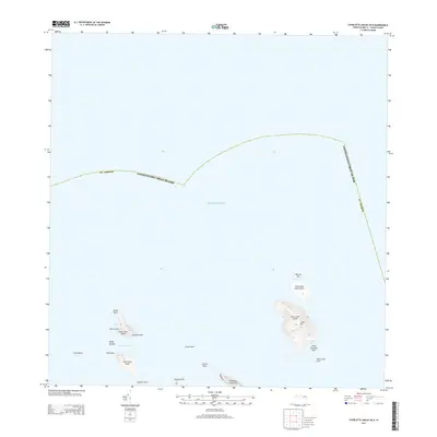
2013 · Charlotte Amalie OE N
USGS Topo · 1:20,000
2024 · Coral Bay OE N
USGS Topo · 1:20,000
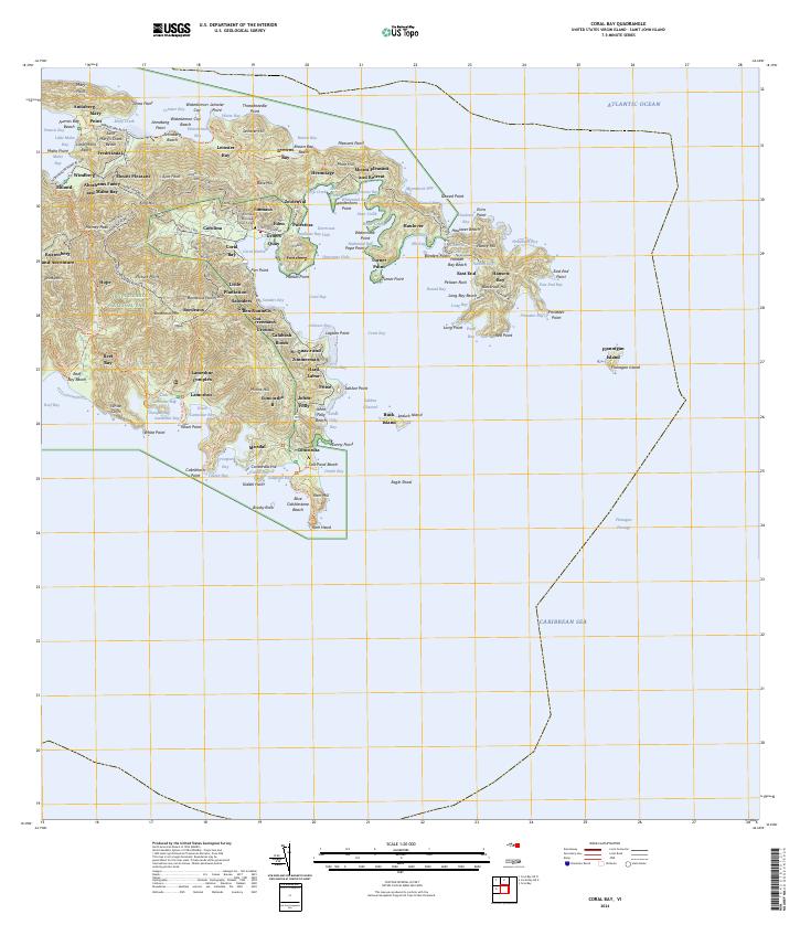
2024 · Coral Bay
USGS Topo · 1:20,000