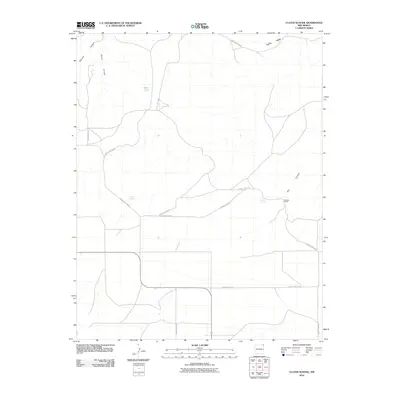
2010 Map of Cuates School
USGS Topo · Published 2010About this map
Stone Lake and the high desert terrain of Union County define this high-plains landscape in northeastern New Mexico. The area is characterized by a sparse network of county roads and vital water sources that supported early ranching operations. Named features such as the Pacheco Ranch and Bruner Spring suggest a history of localized settlement centered on reliable water access in an otherwise arid environment.
Find a feature on this map
17 named features on this map. Tap any name to fly to it.
Don’t see what you’re looking for? This feature index may not catch every label — zoom into the map to look around manually.
Map Details
Editions of this 2010 Cuates School Map
This is the sole edition of this map. No revisions or reprints were ever made.
Other maps of this area

1954 · Dalhart
USGS Topo · 1:250,000

1958 · Dalhart
USGS Topo · 1:250,000

1962 · Dalhart
USGS Topo · 1:250,000

1972 · Seneca
USGS Topo · 1:24,000

1972 · Mc Laughlin Bridge
USGS Topo · 1:24,000
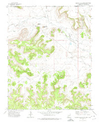
1972 · Wedding Cake Butte
USGS Topo · 1:24,000

1972 · Travesser Park
USGS Topo · 1:24,000
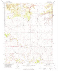
1972 · Guy
USGS Topo · 1:24,000

1972 · Cuates School
USGS Topo · 1:24,000

1972 · Atencio
USGS Topo · 1:24,000