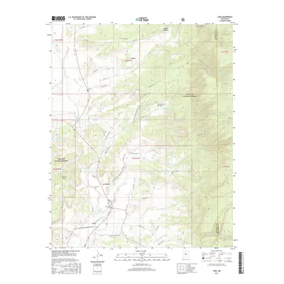
2017 Map of Cuba
USGS Topo · Published 2017About this map
Cuba and the surrounding high-desert landscape are documented here at the intersection of traditional New Mexican settlements and the protected wilderness of the Santa Fe National Forest. This region is characterized by a network of seasonal water sources and springs, such as Bitterero Spring and McCoy Spring, which have sustained local ranching and agriculture for generations. The geography is dominated by the prominent Mesa de Cuba and the winding course of the Rio Puerco, while cultural sites like the Cuba Presbyterian Cem and La Jara Cem provide essential touchstones for genealogical research.
Find a feature on this map
106 named features on this map. Tap any name to fly to it.
Don’t see what you’re looking for? This feature index may not catch every label — zoom into the map to look around manually.
Map Details
Editions of this 2017 Cuba Map
This is the sole edition of this map. No revisions or reprints were ever made.
Other maps of this area

1883 · Mt. Taylor
USGS Topo · 1:250,000

1886 · Mt. Taylor
USGS Topo · 1:250,000

1889 · Largo
USGS Topo · 1:250,000

1890 · Jemes
USGS Topo · 1:125,000

1892 · Jemes
USGS Topo · 1:125,000

1892 · Mt. Taylor
USGS Topo · 1:250,000

1895 · Largo
USGS Topo · 1:250,000

1899 · Mt. Taylor
USGS Topo · 1:250,000

1909 · Gallina
USGS Topo · 1:125,000

1939 · La Ventana
USGS Topo · 1:62,500