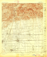
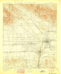
1897 Map of Cucamonga
USGS Topo · Published 1897About this map
The San Gabriel Timber Land Reserve dominates the northern landscape of this survey, with steep canyons like Cucamonga Canyon and San Antonio Canyon cutting through the San Antonio Range. Below these peaks, the terrain flattens into the developing agricultural and transit corridors of the late 19th century. The San Bernardino Base Line serves as a critical surveying anchor for the burgeoning citrus and vineyard towns of Cucamonga, Ontario, and Etiwanda.
Find a feature on this map
57 named features on this map. Tap any name to fly to it.
Don’t see what you’re looking for? This feature index may not catch every label — zoom into the map to look around manually.
Map Details
Editions of this 1897 Cucamonga Map
This is the sole edition of this map. No revisions or reprints were ever made.
Other maps of this area

1894 · Pomona
USGS Topo · 1:62,500

1896 · Anaheim
USGS Topo · 1:62,500
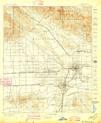
1896 · San Bernardino
USGS Topo · 1:62,500

1897 · Pomona
USGS Topo · 1:62,500

1898 · Pomona
USGS Topo · 1:62,500
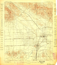
1898 · San Bernardino
USGS Topo · 1:62,500

1898 · Anaheim
USGS Topo · 1:62,500
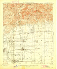
1900 · Cucamonga
USGS Topo · 1:62,500

1901 · Southern California Sheet No. 1
USGS Topo · 1:250,000
1901 · San Bernardino
USGS Topo · 1:62,500