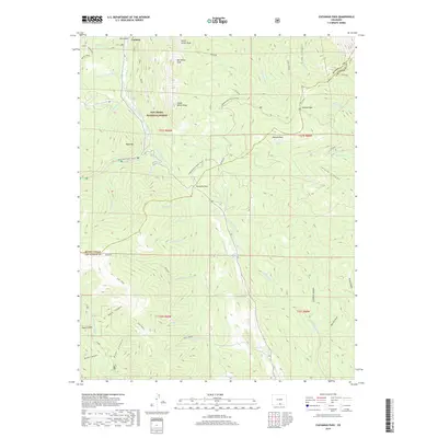
2019 Map of Cucharas Pass
USGS Topo · Published 2019About this map
Cuchara lies at the northern edge of this high-altitude landscape, where the Cucharas River and its tributaries carve deep through the eastern slopes of the Sangre de Cristo range. This 2019 survey documents a complex network of seasonal access routes and geological landmarks within the San Isabel National Forest, including the Blue/Bear Road (Snow) and the Cordova Pass Road (Snow). These high-pass routes provide essential transit through the peaks, specifically crossing at Cucharas Pass and Cordova Pass.
Find a feature on this map
60 named features on this map. Tap any name to fly to it.
Don’t see what you’re looking for? This feature index may not catch every label — zoom into the map to look around manually.
Map Details
Editions of this 2019 Cucharas Pass Map
This is the sole edition of this map. No revisions or reprints were ever made.
Other maps of this area

1891 · Spanish Peaks
USGS Topo · 1:125,000

1893 · Spanish Peaks
USGS Topo · 1:125,000

1895 · Spanish Peaks
USGS Topo · 1:125,000

1897 · Spanish Peaks
USGS Topo · 1:125,000

1900 · Spanish Peaks
USGS Topo · 1:125,000

1954 · Trinidad
USGS Topo · 1:250,000

1955 · Trinidad
USGS Topo · 1:250,000

1958 · Trinidad
USGS Topo · 1:250,000

1959 · Trinidad
USGS Topo · 1:250,000

1963 · Mc Carty Park
USGS Topo · 1:24,000