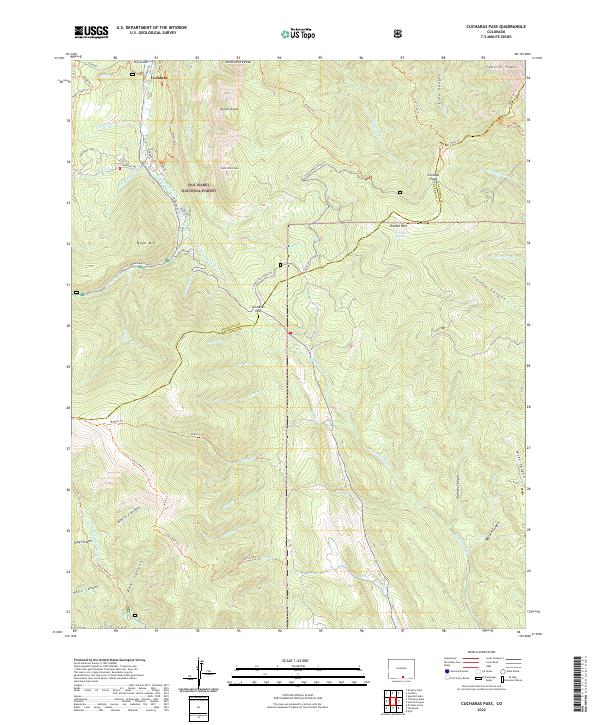
2022 Map of Cucharas Pass
USGS Topo · Published 2022About this map
San Isabel National Forest provides the backdrop for this high-elevation mountain terrain where the headwaters of the Cucharas River begin their descent. The settlement of Cuchara serves as the primary hub at the northern edge, connected to the southern peaks by a network of forest roads and trails including the Dodgeton Trl and Baker Creek Trl. The landscape is dominated by significant summits such as North White Peak, Mid White Peak, and Boyd Mtn, which define the drainage basins for Deadman Cr and Texas Cr. Crossing the Huerfano and Las Animas county line, Cucharas Pass and Cordova Pass mark critical high points for local passage. The map detail highlights an intricate system of canyons and gulches, including Echo Canyon and Hells Canyon, alongside established tracks like Blue/bear Road Trl that navigate the steep grades of the Spanish Peaks region.
Find a feature on this map
66 named features on this map. Tap any name to fly to it.
Don’t see what you’re looking for? This feature index may not catch every label — zoom into the map to look around manually.
Map Details
Editions of this 2022 Cucharas Pass Map
This is the sole edition of this map. No revisions or reprints were ever made.
Other maps of this area

1891 · Spanish Peaks
USGS Topo · 1:125,000

1893 · Spanish Peaks
USGS Topo · 1:125,000

1895 · Spanish Peaks
USGS Topo · 1:125,000

1897 · Spanish Peaks
USGS Topo · 1:125,000

1900 · Spanish Peaks
USGS Topo · 1:125,000

1954 · Trinidad
USGS Topo · 1:250,000

1955 · Trinidad
USGS Topo · 1:250,000

1958 · Trinidad
USGS Topo · 1:250,000

1959 · Trinidad
USGS Topo · 1:250,000

1963 · Mc Carty Park
USGS Topo · 1:24,000