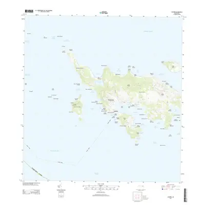
2013 Map of Culebra
USGS Topo · Published 2013About this map
Culebra serves as the central hub of this island geography, situated between the Atlantic Ocean and the Caribbean Sea. The settlement pattern is defined by its dramatic coastline of protective bays and inlets, most notably the expansive Ensenada Honda and the smaller Ensenada del Cementerio. Modern transportation is centered at the Benjamin Rivera Noriega Airport, while the interior terrain rises toward peaks like Cerro de Luis Peña. The map details a complex maritime environment of surrounding cays, including Cayo Lobo and Cayo de Luis Peña, separated by deep-water channels like the Canal de Luis Peña. Notable recreational and natural areas such as Melones Beach and Playa Flamenco are situated near vital lagoons like the Laguna del Flamenco, illustrating the balance between the island's inhabited areas and its coastal ecosystems.
Find a feature on this map
104 named features on this map. Tap any name to fly to it.
Don’t see what you’re looking for? This feature index may not catch every label — zoom into the map to look around manually.
Map Details
Editions of this 2013 Culebra Map
This is the sole edition of this map. No revisions or reprints were ever made.
Other maps of this area
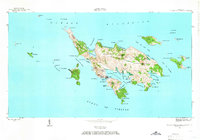
1948 · Culebra And Adjacent Islands
USGS Topo · 1:30,000
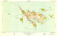
1950 · Culebra And Adjacent Islands
USGS Topo · 1:30,000
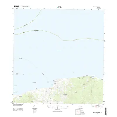
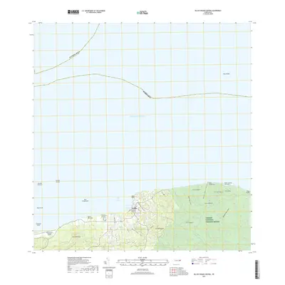
2013 · Isla De Vieques Central
USGS Topo · 1:20,000
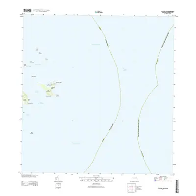
2013 · Culebra OE E
USGS Topo · 1:20,000
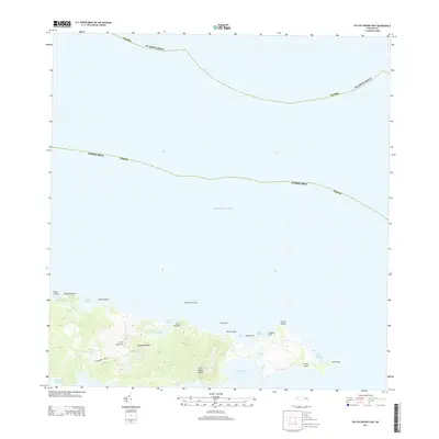
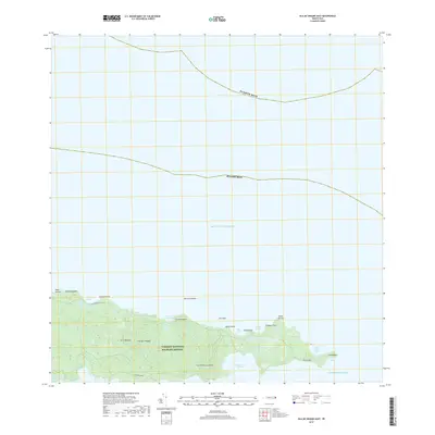
2013 · Isla De Vieques East
USGS Topo · 1:20,000
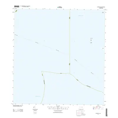
2013 · Culebra OE W
USGS Topo · 1:20,000
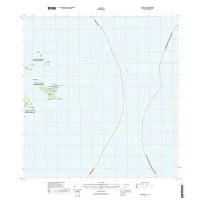
2018 · Culebra OE E
USGS Topo · 1:20,000
2018 · Isla De Vieques Central
USGS Topo · 1:20,000
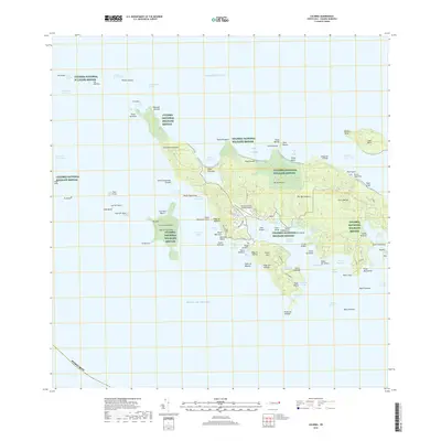
2018 · Culebra
USGS Topo · 1:20,000
2018 · Isla De Vieques East
USGS Topo · 1:20,000