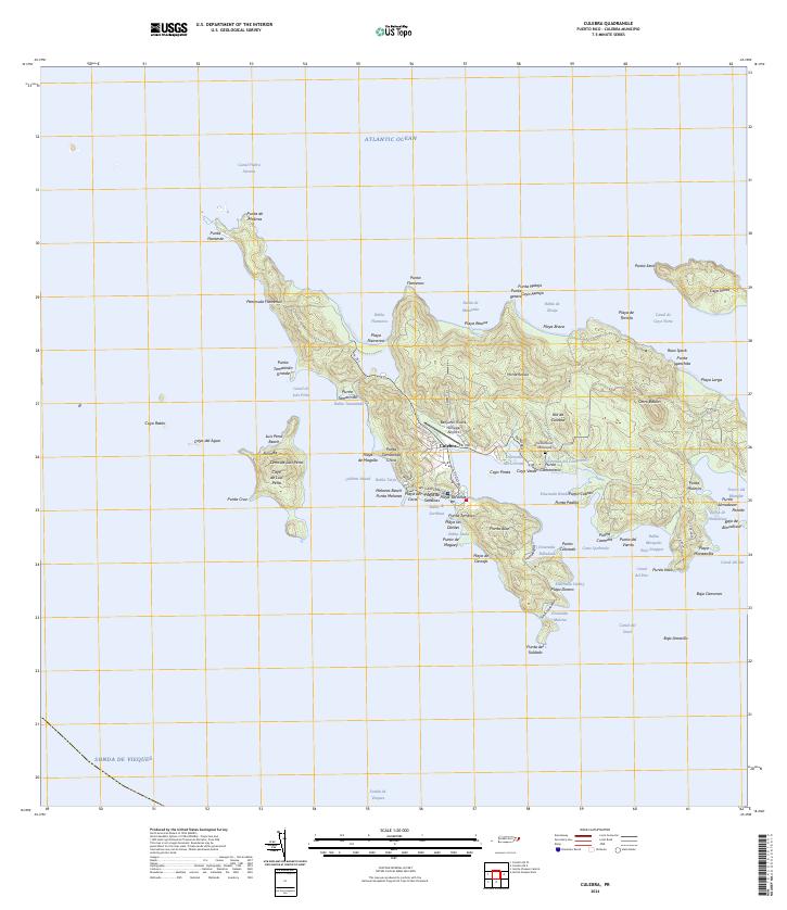
2024 Map of Culebra
USGS Topo · Published 2024About this map
The town of Culebra serves as the central hub of this island geography, where the local road network including PR-250 and PR-251 connects the settlement to essential infrastructure like the Benjamin Rivera Noriega Airport. The landscape is defined by the extensive Culebra National Wildlife Refuge, which encompasses significant portions of the main island and nearby islets such as Cayo de Luis Peña. Coastal features like the deep Ensenada Honda and the sheltered Bahía de Sardinas illustrate the maritime character of the area, while the Cementerio Municipal offers a point of interest for those researching local lineage. From the heights of Cerro de Luis Peña to the shores of Playa Flamenco, the map details a community deeply integrated with its protected natural environment and Caribbean coastline.
Find a feature on this map
101 named features on this map. Tap any name to fly to it.
Don’t see what you’re looking for? This feature index may not catch every label — zoom into the map to look around manually.
Map Details
Editions of this 2024 Culebra Map
This is the sole edition of this map. No revisions or reprints were ever made.
Other maps of this area
1948 · Culebra And Adjacent Islands
USGS Topo · 1:30,000
1950 · Culebra And Adjacent Islands
USGS Topo · 1:30,000
2013 · Isla De Vieques Central
USGS Topo · 1:20,000
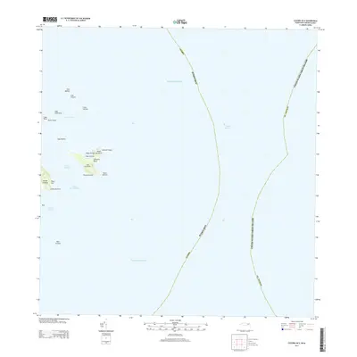
2013 · Culebra OE E
USGS Topo · 1:20,000
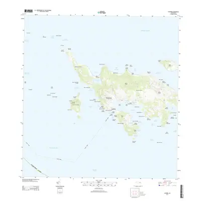
2013 · Culebra
USGS Topo · 1:20,000
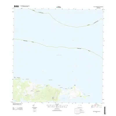
2013 · Isla De Vieques East
USGS Topo · 1:20,000
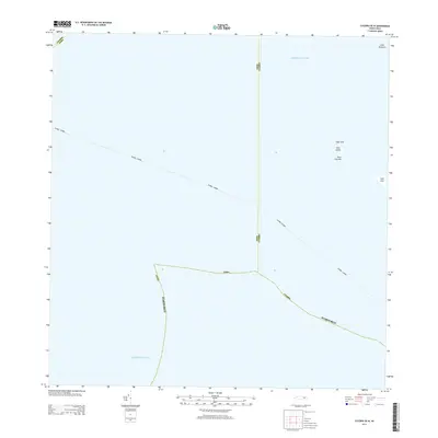
2013 · Culebra OE W
USGS Topo · 1:20,000
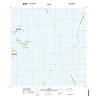
2018 · Culebra OE E
USGS Topo · 1:20,000
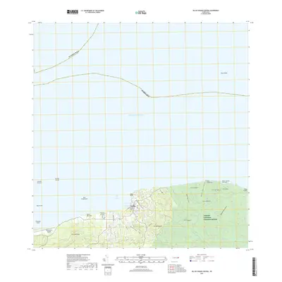
2018 · Isla De Vieques Central
USGS Topo · 1:20,000
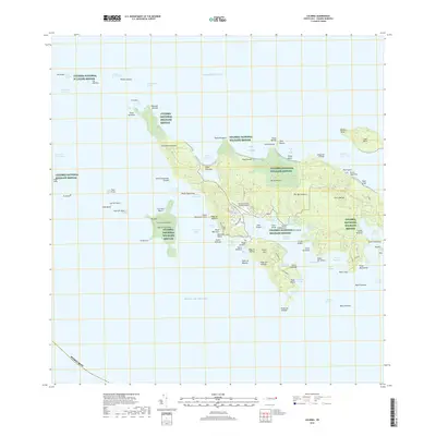
2018 · Culebra
USGS Topo · 1:20,000