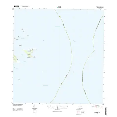
2013 Map of Culebra OE E
USGS Topo · Published 2013About this map
Isla Culebrita and its surrounding cays define this maritime landscape where the Atlantic Ocean meets the Caribbean Sea. This early 21st-century survey documents the small-island geography of the archipelago, highlighting the eastern edge of Isla de Culebra at Playa Zoni. The maritime boundaries are meticulously charted, showing the Virgin Passage and the demarcation between Puerto Rico and the United States Virgin Islands near St. Thomas. The map details a complex network of reefs and small landmasses, including Cayo Norte and Cayos Geniquí, which are separated by the Canal Tiempo. Coastal features such as Playa Tortuga and Culebrita Beach illustrate the natural shoreline of the outer islands, while underwater hazards like Bajo Grouper mark the surrounding navigable waters.
Find a feature on this map
32 named features on this map. Tap any name to fly to it.
Don’t see what you’re looking for? This feature index may not catch every label — zoom into the map to look around manually.
Map Details
Editions of this 2013 Culebra OE E Map
This is the sole edition of this map. No revisions or reprints were ever made.
Other maps of this area
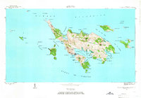
1948 · Culebra And Adjacent Islands
USGS Topo · 1:30,000
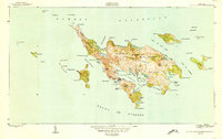
1950 · Culebra And Adjacent Islands
USGS Topo · 1:30,000
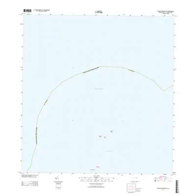
2013 · Savana Passage OE N
USGS Topo · 1:20,000
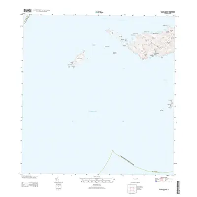
2013 · Savana Passage
USGS Topo · 1:20,000
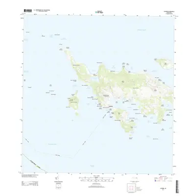
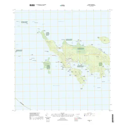
2013 · Culebra
USGS Topo · 1:20,000
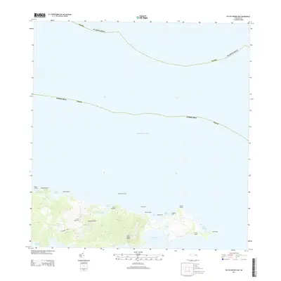
2013 · Isla De Vieques East
USGS Topo · 1:20,000
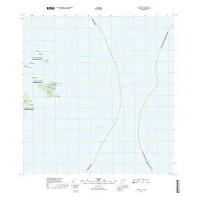
2018 · Culebra OE E
USGS Topo · 1:20,000
2018 · Culebra
USGS Topo · 1:20,000
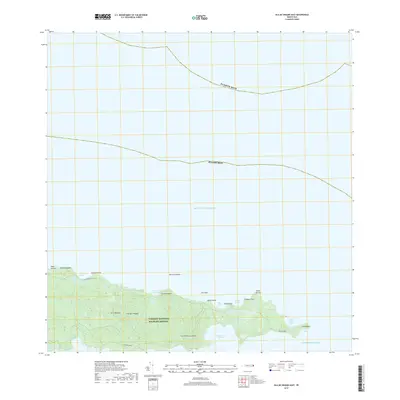
2018 · Isla De Vieques East
USGS Topo · 1:20,000
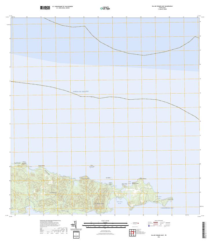
2024 · Isla De Vieques East
USGS Topo · 1:20,000