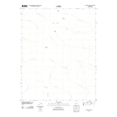
2010 Map of Culebra Peak
USGS Topo · Published 2010About this map
Culebra Peak dominates this high-altitude landscape in the southern Culebra Range, where the continental drainage system creates a network of radiating creeks. The topography is defined by significant summits including Purgatoire Peak, Vermejo Peak, and Red Mountain, which overlook the high basin of Devils Park. This 2010 survey records the intricate headwaters of the region, where streams like Ricardo Creek, Little Vermejo Creek, and Fish Creek descend from the peaks toward the valleys below. The presence of Leandro Lake provides a rare localized water body amidst the drainage divides of East Fork Costilla Creek and Alamosito Creek. These hydrological patterns illustrate the complex watershed management and natural boundaries that characterize the Sangre de Cristo Mountains at the start of the 21st century.
Find a feature on this map
18 named features on this map. Tap any name to fly to it.
Don’t see what you’re looking for? This feature index may not catch every label — zoom into the map to look around manually.
Map Details
Editions of this 2010 Culebra Peak Map
This is the sole edition of this map. No revisions or reprints were ever made.
Other maps of this area

1954 · Raton
USGS Topo · 1:250,000

1954 · Trinidad
USGS Topo · 1:250,000

1955 · Trinidad
USGS Topo · 1:250,000

1958 · Raton
USGS Topo · 1:250,000

1958 · Trinidad
USGS Topo · 1:250,000

1959 · Trinidad
USGS Topo · 1:250,000

1962 · Ash Mountain
USGS Topo · 1:62,500

1963 · Big Costilla Peak
USGS Topo · 1:24,000

1967 · La Valley
USGS Topo · 1:24,000

1967 · Taylor Ranch
USGS Topo · 1:24,000