
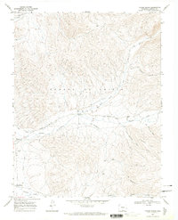
1967 Map of Taylor Ranch
USGS Topo · Published 1971About this map
The Sangre De Cristo Grant dominates this landscape in southern Colorado, where traditional land use and water management define the high-altitude terrain. The presence of the Cerro Ditch and Sanchez Canal highlights the critical importance of irrigation in the arid foothills, supporting small settlements like Chama and Los Fuertes. The map documents a rural infrastructure of high-country routes such as Whiskey Pass Road and El Puertesito that navigate the ridges between drainages like Culebra Creek and El Poso Creek. Near the center of the sheet, the Cañon Ch and BM Gaging Sta 8517 mark specific points of community and resource monitoring. The concentration of features near the Chama Cem provides a focal point for genealogical research in this part of Costilla County, showing the proximity of the town to the local watershed.
Find a feature on this map
20 named features on this map. Tap any name to fly to it.
Don’t see what you’re looking for? This feature index may not catch every label — zoom into the map to look around manually.
Map Details
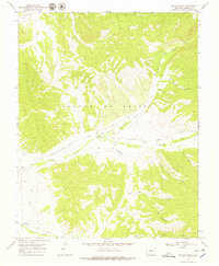
Editions of this 1967 Taylor Ranch Map
3 editions found
Other maps of this area

1954 · Trinidad
USGS Topo · 1:250,000

1955 · Trinidad
USGS Topo · 1:250,000

1958 · Trinidad
USGS Topo · 1:250,000

1959 · Trinidad
USGS Topo · 1:250,000

1967 · San Luis
USGS Topo · 1:24,000

1967 · La Valley
USGS Topo · 1:24,000

1967 · Fort Garland SW
USGS Topo · 1:24,000

1967 · Ojito Peak
USGS Topo · 1:24,000
1967 · Culebra Peak
USGS Topo · 1:24,000
1967 · El Valle Creek
USGS Topo · 1:24,000