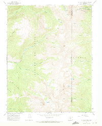
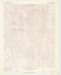
1967 Map of El Valle Creek
USGS Topo · Published 1971About this map
The Sangre de Cristo Range dominates this high-altitude landscape along the border of Costilla and Las Animas counties. Published in 1971 based on 1966 aerial photography and 1967 fieldwork, the map documents a system of remote alpine drainages and summits within the San Isabel National Forest. Key water sources such as Carneros Lake, Lost Lake, and Strawberry Lake are tucked among the steep ridges, feeding numerous creeks like El Valle Creek and Culebra Creek that flow from the divide.
Find a feature on this map
28 named features on this map. Tap any name to fly to it.
Don’t see what you’re looking for? This feature index may not catch every label — zoom into the map to look around manually.
Map Details
Editions of this 1967 El Valle Creek Map
2 editions found
Other maps of this area

1954 · Trinidad
USGS Topo · 1:250,000

1955 · Trinidad
USGS Topo · 1:250,000

1958 · Trinidad
USGS Topo · 1:250,000

1959 · Trinidad
USGS Topo · 1:250,000

1967 · La Valley
USGS Topo · 1:24,000

1967 · Ojito Peak
USGS Topo · 1:24,000
1967 · Cucharas Pass
USGS Topo · 1:24,000

1967 · Taylor Ranch
USGS Topo · 1:24,000
1967 · Stonewall
USGS Topo · 1:24,000
1967 · Culebra Peak
USGS Topo · 1:24,000