
1967 Map of Ojito Peak
USGS Topo · Published 1970About this map
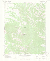
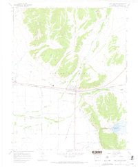
The Sangre De Cristo Grant in Costilla County is defined by its high-altitude terrain and water drainage patterns during the late 1960s. Central to the landscape is Ojito Peak, with numerous watercourses like Ojito Creek and Trinchera Creek carving through the elevation. The map captures a moment when land use was primarily focused on resource extraction and seasonal grazing, evidenced by a remote Mine near Rito Seco and a Corral located in the higher elevations. To the southwest, the Willow Creek Reservoir stands as a significant hydrological feature, managing the flow from the surrounding slopes. Transportation is limited to a network of primitive routes, including several Jeep Trails and standard foot Trails that navigate through features like Squirrel Canyon and lead toward the lush Big Meadow.
Find a feature on this map
14 named features on this map. Tap any name to fly to it.
Don’t see what you’re looking for? This feature index may not catch every label — zoom into the map to look around manually.
Map Details
Editions of this 1967 Ojito Peak Map
4 editions found
Other maps of this area

1954 · Trinidad
USGS Topo · 1:250,000

1955 · Trinidad
USGS Topo · 1:250,000

1958 · Trinidad
USGS Topo · 1:250,000

1959 · Trinidad
USGS Topo · 1:250,000

1963 · Mc Carty Park
USGS Topo · 1:24,000

1967 · San Luis
USGS Topo · 1:24,000

1967 · Fort Garland SW
USGS Topo · 1:24,000
1967 · Trinchera Ranch
USGS Topo · 1:24,000
1967 · Fort Garland
USGS Topo · 1:24,000

1967 · Taylor Ranch
USGS Topo · 1:24,000