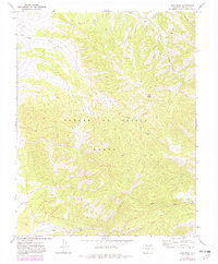
1967 Map of Ojito Peak
USGS Topo · Published 1982About this map
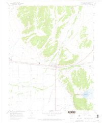
Ojito Peak rises as the central landmark of this high-elevation terrain in the Sangre De Cristo range during the late 1960s. The landscape is defined by the steep drainage systems of Ojito Creek and the North Fork Trinchera Creek, which flow through heavily contoured slopes within the historical Grant boundary. Human presence is marked by functional improvements of the era, such as a Gaging Sta near the northern border and a Corral positioned along a mountain creek, suggesting a reliance on seasonal grazing and water management.
Find a feature on this map
13 named features on this map. Tap any name to fly to it.
Don’t see what you’re looking for? This feature index may not catch every label — zoom into the map to look around manually.
Map Details
Editions of this 1967 Ojito Peak Map
4 editions found
Other maps of this area

1954 · Trinidad
USGS Topo · 1:250,000

1955 · Trinidad
USGS Topo · 1:250,000

1958 · Trinidad
USGS Topo · 1:250,000

1959 · Trinidad
USGS Topo · 1:250,000

1963 · Mc Carty Park
USGS Topo · 1:24,000

1967 · San Luis
USGS Topo · 1:24,000

1967 · Fort Garland SW
USGS Topo · 1:24,000

1967 · Ojito Peak
USGS Topo · 1:24,000
1967 · Trinchera Ranch
USGS Topo · 1:24,000
1967 · Fort Garland
USGS Topo · 1:24,000