
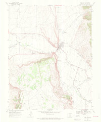
1967 Map of San Luis
USGS Topo · Published 1970About this map
Sangre De Cristo Grant lands define the character of this 1967 survey, where a sophisticated network of irrigation ditches serves a series of communal settlements. The town of San Luis sits at the heart of this high-altitude landscape, flanked by Salazar Reservoir and the flowing waters of Culebra Creek. The presence of the San Luis Peoples Ditch and San Acacio Ditch No 2 reflects the enduring importance of acequia water management in Costilla County.
Find a feature on this map
30 named features on this map. Tap any name to fly to it.
Don’t see what you’re looking for? This feature index may not catch every label — zoom into the map to look around manually.
Map Details
Editions of this 1967 San Luis Map
4 editions found
Other maps of this area

1954 · Trinidad
USGS Topo · 1:250,000

1955 · Trinidad
USGS Topo · 1:250,000

1958 · Trinidad
USGS Topo · 1:250,000

1959 · Trinidad
USGS Topo · 1:250,000

1965 · Blanca SE
USGS Topo · 1:24,000

1967 · La Valley
USGS Topo · 1:24,000

1967 · Fort Garland SW
USGS Topo · 1:24,000

1967 · Ojito Peak
USGS Topo · 1:24,000

1967 · Taylor Ranch
USGS Topo · 1:24,000
1967 · Garcia
USGS Topo · 1:24,000