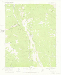
1967 Map of Cucharas Pass
USGS Topo · Published 1970About this map
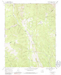
San Isabel National Forest dominates this high-altitude landscape along the boundary of Huerfano and Las Animas counties. The terrain is defined by the headwaters of several major drainages, including the Cucharas River and the Purgatoire River. This 1967 field-checked survey reveals the high-country infrastructure of the mid-20th century, where pack trails and jeep trails provided access to landmarks like Cucharas Pass and Apishapa Pass.
Find a feature on this map
45 named features on this map. Tap any name to fly to it.
Don’t see what you’re looking for? This feature index may not catch every label — zoom into the map to look around manually.
Map Details
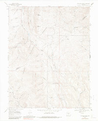
Editions of this 1967 Cucharas Pass Map
6 editions found
Other maps of this area

1891 · Spanish Peaks
USGS Topo · 1:125,000

1893 · Spanish Peaks
USGS Topo · 1:125,000

1895 · Spanish Peaks
USGS Topo · 1:125,000

1897 · Spanish Peaks
USGS Topo · 1:125,000

1900 · Spanish Peaks
USGS Topo · 1:125,000

1954 · Trinidad
USGS Topo · 1:250,000

1955 · Trinidad
USGS Topo · 1:250,000

1958 · Trinidad
USGS Topo · 1:250,000

1959 · Trinidad
USGS Topo · 1:250,000

1963 · Mc Carty Park
USGS Topo · 1:24,000