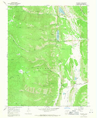
1967 Map of Stonewall
USGS Topo · Published 1971About this map
The Purgatoire River carves a path through the Stonewall Valley in this survey of southern Colorado, where the transition from high plains to the Sangre de Cristo foothills is marked by distinct geological boundaries. The settlement of Stonewall sits at the junction of the river and the Middle Fork, serving as a gateway to the San Isabel National Forest. This era shows a landscape managed for both water resources and recreation, featuring a network of infrastructure including an aqueduct, a ditch, and a Filtration Plant near Coal Creek.
Find a feature on this map
46 named features on this map. Tap any name to fly to it.
Don’t see what you’re looking for? This feature index may not catch every label — zoom into the map to look around manually.
Map Details
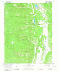
Editions of this 1967 Stonewall Map
2 editions found
Other maps of this area

1891 · Spanish Peaks
USGS Topo · 1:125,000

1893 · Spanish Peaks
USGS Topo · 1:125,000

1895 · Spanish Peaks
USGS Topo · 1:125,000

1897 · Spanish Peaks
USGS Topo · 1:125,000

1900 · Spanish Peaks
USGS Topo · 1:125,000

1954 · Trinidad
USGS Topo · 1:250,000

1955 · Trinidad
USGS Topo · 1:250,000

1958 · Trinidad
USGS Topo · 1:250,000

1959 · Trinidad
USGS Topo · 1:250,000
1967 · Cucharas Pass
USGS Topo · 1:24,000