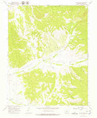
1967 Map of Taylor Ranch
USGS Topo · Published 1979About this map
The high alpine landscape of the Sangre De Cristo Range dominates this mid-century survey of Costilla County. Settlement is concentrated along the western valleys, where the historic communities of Chama and Los Fuertes sit near the essential waters of Culebra Creek and Vallejos Creek. The map documents a critical irrigation network, including the Sanchez Canal and a prominent Ditch, which support the agricultural life of the basin below the mountain peaks. Local history is anchored by sites such as the Chama Cem, another unnamed Cem, and the Cañon Ch near the gaging station.
Find a feature on this map
22 named features on this map. Tap any name to fly to it.
Don’t see what you’re looking for? This feature index may not catch every label — zoom into the map to look around manually.
Map Details
Editions of this 1967 Taylor Ranch Map
3 editions found
Other maps of this area

1954 · Trinidad
USGS Topo · 1:250,000

1955 · Trinidad
USGS Topo · 1:250,000

1958 · Trinidad
USGS Topo · 1:250,000

1959 · Trinidad
USGS Topo · 1:250,000

1967 · San Luis
USGS Topo · 1:24,000

1967 · La Valley
USGS Topo · 1:24,000

1967 · Fort Garland SW
USGS Topo · 1:24,000

1967 · Ojito Peak
USGS Topo · 1:24,000

1967 · Taylor Ranch
USGS Topo · 1:24,000
1967 · Culebra Peak
USGS Topo · 1:24,000