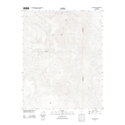
2013 Map of Culebra Peak
USGS Topo · Published 2013About this map
Culebra Peak and the high summits of the Sangre de Cristo Mountains dominate this landscape along the boundary between Costilla and Las Animas counties. The drainage patterns on this sheet are complex, as headwaters flow from these peaks in multiple directions. To the west, Vallejos Cr and its northern branch, N Vallejos Cr, carve deep paths through the high country, while to the east, the terrain gives rise to Ricardo Cr and Little Vermejo Cr. High-elevation landmarks such as Purgatoire Peak and Vermejo Peak provide critical reference points for this alpine environment.
Find a feature on this map
18 named features on this map. Tap any name to fly to it.
Don’t see what you’re looking for? This feature index may not catch every label — zoom into the map to look around manually.
Map Details
Editions of this 2013 Culebra Peak Map
This is the sole edition of this map. No revisions or reprints were ever made.
Other maps of this area

1954 · Raton
USGS Topo · 1:250,000

1954 · Trinidad
USGS Topo · 1:250,000

1955 · Trinidad
USGS Topo · 1:250,000

1958 · Raton
USGS Topo · 1:250,000

1958 · Trinidad
USGS Topo · 1:250,000

1959 · Trinidad
USGS Topo · 1:250,000

1962 · Ash Mountain
USGS Topo · 1:62,500

1963 · Big Costilla Peak
USGS Topo · 1:24,000

1967 · La Valley
USGS Topo · 1:24,000

1967 · Taylor Ranch
USGS Topo · 1:24,000