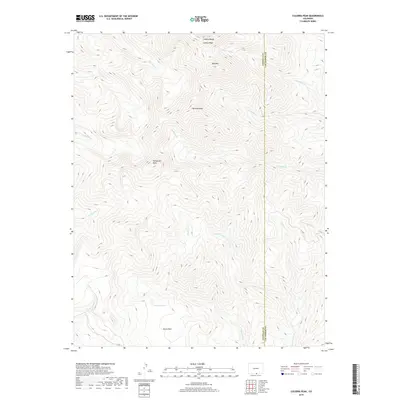
2019 Map of Culebra Peak
USGS Topo · Published 2019About this map
The Culebra Range forms the high-altitude backbone of this portion of Southern Colorado, where the boundary between Costilla County and Las Animas County follows the sharp drainage divides of the Sangre de Cristo Mountains. Dominating the skyline are several prominent summits, including Culebra Peak, Purgatoire Peak, and Vermejo Peak, which serve as the headwaters for numerous alpine streams. This survey documents the complex hydrological network of the region, from the E Fork Costilla Cr in the southwest to the eastern-flowing Little Vermejo Cr. Below the peaks, the landscape opens into areas like Devils Park, while smaller features like Leandro Lake and Red Mtn provide specific landmarks for those tracing the high-country geography of these adjacent counties.
Find a feature on this map
19 named features on this map. Tap any name to fly to it.
Don’t see what you’re looking for? This feature index may not catch every label — zoom into the map to look around manually.
Map Details
Editions of this 2019 Culebra Peak Map
This is the sole edition of this map. No revisions or reprints were ever made.
Other maps of this area

1954 · Raton
USGS Topo · 1:250,000

1954 · Trinidad
USGS Topo · 1:250,000

1955 · Trinidad
USGS Topo · 1:250,000

1958 · Raton
USGS Topo · 1:250,000

1958 · Trinidad
USGS Topo · 1:250,000

1959 · Trinidad
USGS Topo · 1:250,000

1962 · Ash Mountain
USGS Topo · 1:62,500

1963 · Big Costilla Peak
USGS Topo · 1:24,000

1967 · La Valley
USGS Topo · 1:24,000

1967 · Taylor Ranch
USGS Topo · 1:24,000