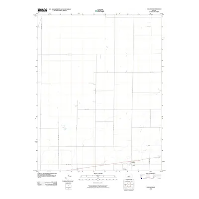
2009 Map of Cullison
USGS Topo · Published 2009About this map
Cullison serves as the primary settlement on this High Plains landscape, situated along a prominent east-west corridor in southern Kansas. The town layout is clearly defined by a grid of local thoroughfares including E Ave B and W 10th St, which intersect with north-south routes like NW 80th Ave. Beyond the residential clusters, the terrain is characterized by a vast agricultural grid of section-line roads, such as NW 50th St and NW 140th Ave, indicating a long-established pattern of rural land management. Near the southern edge of the community, Sunset Cemetery provides a significant touchstone for genealogical research, anchoring the local history of this Pratt County region. The absence of heavy industrial markers suggests a quiet, agrarian-focused economy during the early 21st century.
Find a feature on this map
19 named features on this map. Tap any name to fly to it.
Don’t see what you’re looking for? This feature index may not catch every label — zoom into the map to look around manually.
Map Details
Editions of this 2009 Cullison Map
This is the sole edition of this map. No revisions or reprints were ever made.
Other maps of this area

1889 · Kinsley
USGS Topo · 1:125,000

1892 · Kinsley
USGS Topo · 1:125,000

1892 · Pratt
USGS Topo · 1:125,000

1894 · Kinsley
USGS Topo · 1:125,000

1894 · Pratt
USGS Topo · 1:125,000

1955 · Pratt
USGS Topo · 1:250,000

1959 · Pratt
USGS Topo · 1:250,000

1968 · Cullison
USGS Topo · 1:24,000

1968 · Coats
USGS Topo · 1:24,000

1968 · Haviland
USGS Topo · 1:24,000