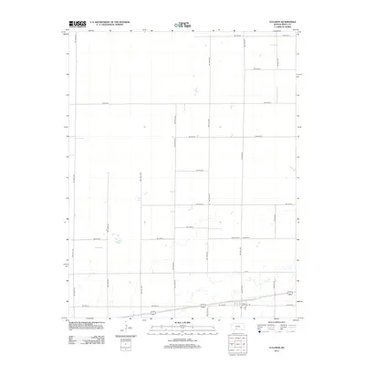
2012 Map of Cullison
USGS Topo · Published 2012About this map
Texas Lake sits as the primary natural feature in this landscape within Pratt County, providing a distinct water source amidst a structured grid of agricultural roads. The area is defined by its meticulous township-and-range surveying, with corridors such as NW 140th Ave and NW 10th St carving out large sections of land typical of the Kansas prairie. Toward the southern edge of the sheet, the infrastructure shifts near the settlement corridor of E Central Ave, where the density of roads like SW 90th Ave and 4th St indicates the transition toward local community hubs. This 2012 survey illustrates the enduring pattern of rural land use, where section lines dictate movement and the preservation of hydrology like Texas Lake remains a focal point in an otherwise heavily managed agricultural environment.
Find a feature on this map
29 named features on this map. Tap any name to fly to it.
Don’t see what you’re looking for? This feature index may not catch every label — zoom into the map to look around manually.
Map Details
Editions of this 2012 Cullison Map
This is the sole edition of this map. No revisions or reprints were ever made.
Other maps of this area

1889 · Kinsley
USGS Topo · 1:125,000

1892 · Kinsley
USGS Topo · 1:125,000

1892 · Pratt
USGS Topo · 1:125,000

1894 · Kinsley
USGS Topo · 1:125,000

1894 · Pratt
USGS Topo · 1:125,000

1955 · Pratt
USGS Topo · 1:250,000

1959 · Pratt
USGS Topo · 1:250,000

1968 · Cullison
USGS Topo · 1:24,000

1968 · Coats
USGS Topo · 1:24,000

1968 · Haviland
USGS Topo · 1:24,000