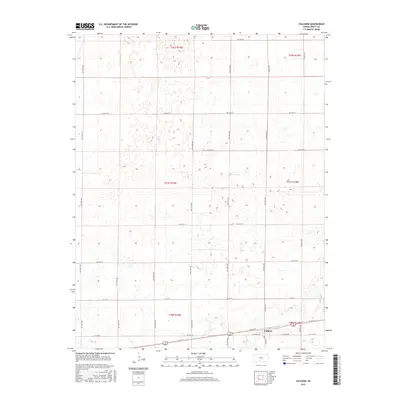
2015 Map of Cullison
USGS Topo · Published 2015About this map
Cullison sits in the southeastern corner of this Kansas landscape, serving as a focal point where the local grid of agricultural roads converges. The settlement is anchored by Main St and Central Ave, reflecting the organized expansion of Pratt County's rural infrastructure. The surrounding terrain is defined by a consistent network of section-line roads, such as NW 70th St and SW 140th Ave, which delineate the expansive farm plots and township boundaries including t27s r15w. This map captures the intersection of transportation and land division, showing Highway 54/400 cutting across the southern portion of the quadrangle. The topography is marked by numerous depressions and wetlands typical of this region, situated between long-established avenues like NW 110th Ave and NW 80th Ave.
Find a feature on this map
32 named features on this map. Tap any name to fly to it.
Don’t see what you’re looking for? This feature index may not catch every label — zoom into the map to look around manually.
Map Details
Editions of this 2015 Cullison Map
This is the sole edition of this map. No revisions or reprints were ever made.
Other maps of this area

1889 · Kinsley
USGS Topo · 1:125,000

1892 · Kinsley
USGS Topo · 1:125,000

1892 · Pratt
USGS Topo · 1:125,000

1894 · Kinsley
USGS Topo · 1:125,000

1894 · Pratt
USGS Topo · 1:125,000

1955 · Pratt
USGS Topo · 1:250,000

1959 · Pratt
USGS Topo · 1:250,000

1968 · Cullison
USGS Topo · 1:24,000

1968 · Coats
USGS Topo · 1:24,000

1968 · Haviland
USGS Topo · 1:24,000