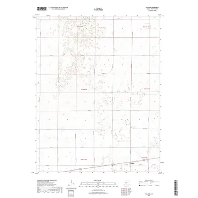
2018 Map of Cullison
USGS Topo · Published 2018About this map
Cullison serves as the primary settlement on this Southern Kansas landscape, concentrated along the intersection of Main St and Central Ave. The town is oriented around a grid that transitions into a vast network of section-line roads, such as W 1st St and NW 140th Ave, characteristic of the High Plains agricultural layout. This 2018 survey reveals the persistent geometry of the Public Land Survey System, with township and range lines like t28s r14w and t27s r15w defining the administrative boundaries of Pratt County.
Find a feature on this map
32 named features on this map. Tap any name to fly to it.
Don’t see what you’re looking for? This feature index may not catch every label — zoom into the map to look around manually.
Map Details
Editions of this 2018 Cullison Map
This is the sole edition of this map. No revisions or reprints were ever made.
Other maps of this area

1889 · Kinsley
USGS Topo · 1:125,000

1892 · Kinsley
USGS Topo · 1:125,000

1892 · Pratt
USGS Topo · 1:125,000

1894 · Kinsley
USGS Topo · 1:125,000

1894 · Pratt
USGS Topo · 1:125,000

1955 · Pratt
USGS Topo · 1:250,000

1959 · Pratt
USGS Topo · 1:250,000

1968 · Cullison
USGS Topo · 1:24,000

1968 · Coats
USGS Topo · 1:24,000

1968 · Haviland
USGS Topo · 1:24,000