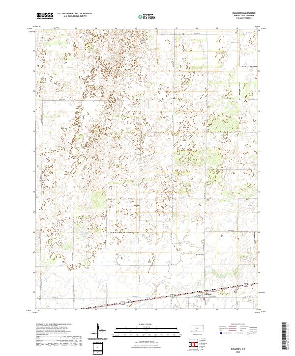
2022 Map of Cullison
USGS Topo · Published 2022About this map
The settlement of Cullison sits in the southeastern corner of this Pratt County landscape, established as a small agricultural hub along the southern transport corridor. The town's grid is anchored by Main St and W Central Ave, surrounded by a vast network of section-line roads that define the rural character of the region. The map reveals an extensive system of ephemeral water bodies and depressions scattered across the northern sections, particularly within the township boundaries of t26s r15w and t26s r14w. This drainage pattern, interspersed with roads like NW 70th St, illustrates the localized hydrography of the High Plains where natural catchment basins are common. Modern infrastructure such as Co Rd 8 and SW 140th Ave trace the enduring geometric boundaries of the Public Land Survey System, which continues to shape land use and property lines in this Kansas prairie environment.
Find a feature on this map
31 named features on this map. Tap any name to fly to it.
Don’t see what you’re looking for? This feature index may not catch every label — zoom into the map to look around manually.
Map Details
Editions of this 2022 Cullison Map
This is the sole edition of this map. No revisions or reprints were ever made.
Other maps of this area

1889 · Kinsley
USGS Topo · 1:125,000

1892 · Kinsley
USGS Topo · 1:125,000

1892 · Pratt
USGS Topo · 1:125,000

1894 · Kinsley
USGS Topo · 1:125,000

1894 · Pratt
USGS Topo · 1:125,000

1955 · Pratt
USGS Topo · 1:250,000

1959 · Pratt
USGS Topo · 1:250,000

1968 · Cullison
USGS Topo · 1:24,000

1968 · Coats
USGS Topo · 1:24,000

1968 · Haviland
USGS Topo · 1:24,000