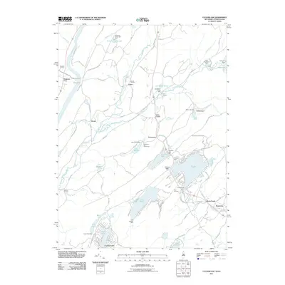
2011 Map of Culvers Gap
USGS Topo · Published 2011About this map
Culvers Lake and its surrounding water bodies define this Sussex County landscape as it appeared in the early 21st century. The map centers on the dramatic Culvers Gap in the ridge, where various recreational camps and scout retreats like Sakawawin Boy Scout Camp and Madeleine Mulford Girl Scout Camp are established among the lakes and brooks. The western edge of the sheet follows the Delaware River, anchored by the historic crossing at Dingmans Ferry.
Find a feature on this map
120 named features on this map. Tap any name to fly to it.
Don’t see what you’re looking for? This feature index may not catch every label — zoom into the map to look around manually.
Map Details
Editions of this 2011 Culvers Gap Map
This is the sole edition of this map. No revisions or reprints were ever made.
Other maps of this area

1888 · Franklin
USGS Topo · 1:62,500

1891 · Wallpack
USGS Topo · 1:62,500

1893 · Wallpack
USGS Topo · 1:62,500

1894 · Franklin
USGS Topo · 1:62,500

1897 · Franklin
USGS Topo · 1:62,500

1903 · Franklin Furnace
USGS Topo · 1:62,500

1906 · Port Jervis
USGS Topo · 1:62,500

1908 · Port Jervis
USGS Topo · 1:62,500

1913 · Milford
USGS Topo · 1:62,500

1915 · Milford
USGS Topo · 1:62,500
Featured Places
- Hampton Township, NJ
- Stillwater Township, NJ
- Montague Township, NJ
- Branchville, NJ
- Culvers Inlet, Frankford Township