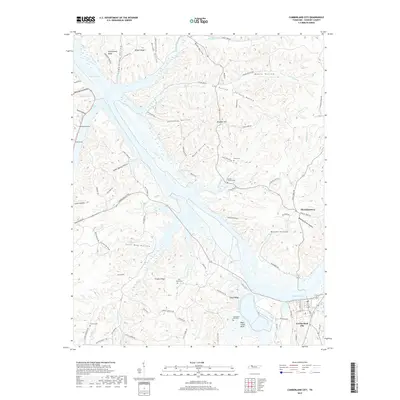
2019 Map of Cumberland City
USGS Topo · Published 2019About this map
Cumberland City sits at a strategic bend in the Cumberland River, dominated by the expansive waters of Lake Barkley and the distinctive geological formation of the Wells Creek Basin. The landscape is defined by a dense network of ridges and hollows, such as Potatopatch Hollow and Furnace Hollow, which reflect the region's historical reliance on timber and early iron production. The area around Throckmorton and the high ground of Traylor Ridge show a traditional pattern of upland settlement and small-scale agriculture.
Find a feature on this map
96 named features on this map. Tap any name to fly to it.
Don’t see what you’re looking for? This feature index may not catch every label — zoom into the map to look around manually.
Map Details
Editions of this 2019 Cumberland City Map
This is the sole edition of this map. No revisions or reprints were ever made.
Other maps of this area

1931 · Erin
USGS Topo · 1:62,500

1936 · Tantrough Hollow
USGS Topo · 1:24,000

1936 · Stewart
USGS Topo · 1:24,000

1936 · Dover
USGS Topo · 1:24,000

1950 · Stewart
USGS Topo · 1:24,000

1950 · Dover
USGS Topo · 1:24,000

1951 · Indian Mound
USGS Topo · 1:24,000

1951 · Bumpus Mills
USGS Topo · 1:24,000

1951 · Woodlawn
USGS Topo · 1:24,000

1956 · Nashville
USGS Topo · 1:250,000