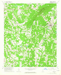
1964 Map of Cumming
USGS Topo · Published 1965About this map
Sawnee Mountain dominates the northern horizon of this mid-1960s survey, its ridgeline punctuated by a Lookout Tower and Sawnee Gap. Below the heights, the landscape is defined by the growing town of Cumming, serving as a hub for the surrounding rural communities of Ducktown and Drew. The era is characterized by a transition from traditional agricultural patterns to modern infrastructure, evidenced by the County Hospital, Waterworks, and the County High Sch.
Find a feature on this map
83 named features on this map. Tap any name to fly to it.
Don’t see what you’re looking for? This feature index may not catch every label — zoom into the map to look around manually.
Map Details
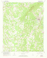
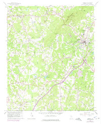
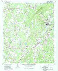
Editions of this 1964 Cumming Map
4 editions found
Other maps of this area

1890 · Suwanee
USGS Topo · 1:125,000

1894 · Suwanee
USGS Topo · 1:125,000

1926 · Tate
USGS Topo · 1:62,500

1928 · Tate
USGS Topo · 1:62,500

1955 · Rome
USGS Topo · 1:250,000

1956 · Duluth
USGS Topo · 1:24,000

1956 · Roswell
USGS Topo · 1:24,000

1956 · Birmingham
USGS Topo · 1:24,000

1958 · Rome
USGS Topo · 1:250,000

1961 · Rome
USGS Topo · 1:250,000