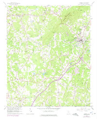
1964 Map of Cumming
USGS Topo · Published 1974About this map
Sawnee Mountain dominates the northern landscape of Forsyth County, where its ridge lines meet at Tribble Gap and Sawnee Gap. The area surrounding the county seat at Cumming reflects a mid-century transition from rural agricultural crossroads to a developing regional hub, evidenced by the presence of the County Hospital, County High Sch, and essential infrastructure like the local Waterworks and Sewage Treatment Ponds.
Find a feature on this map
84 named features on this map. Tap any name to fly to it.
Don’t see what you’re looking for? This feature index may not catch every label — zoom into the map to look around manually.
Map Details
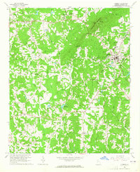
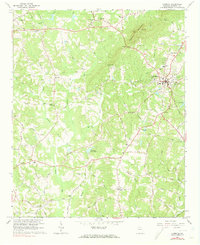
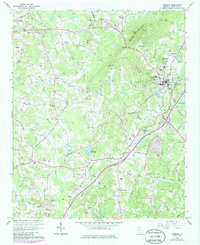
Editions of this 1964 Cumming Map
4 editions found
Other maps of this area

1890 · Suwanee
USGS Topo · 1:125,000

1894 · Suwanee
USGS Topo · 1:125,000

1926 · Tate
USGS Topo · 1:62,500

1928 · Tate
USGS Topo · 1:62,500

1955 · Rome
USGS Topo · 1:250,000

1956 · Duluth
USGS Topo · 1:24,000

1956 · Roswell
USGS Topo · 1:24,000

1956 · Birmingham
USGS Topo · 1:24,000

1958 · Rome
USGS Topo · 1:250,000

1961 · Rome
USGS Topo · 1:250,000