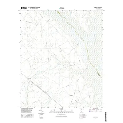
2017 Map of Cummings
USGS Topo · Published 2017About this map
The Salkehatchie River and Little Salkehatchie River define this Lowcountry landscape along the border of Hampton and Colleton Counties. The settlement of Cummings sits at a crossroads in the western portion of the quadrangle, while Fechtig occupies the southern reaches near Broadwater Br. The terrain is characterized by a complex network of wetlands and minor tributaries, including McPherson Cr and Tennants Br, which feed into the primary river systems. Family and plantation history is evident through localized road names such as Huggin Oak Plantation Rd and Walter Riley Rd. Genealogists may find interest in the Crews Cem, located centrally between Shaffer Corner Rd and Flower Well Rd. The map also documents distinctive local hydrology like Horse Bay and Big Pond, reflecting the classic coastal plain geography of South Carolina.
Find a feature on this map
59 named features on this map. Tap any name to fly to it.
Don’t see what you’re looking for? This feature index may not catch every label — zoom into the map to look around manually.
Map Details
Editions of this 2017 Cummings Map
This is the sole edition of this map. No revisions or reprints were ever made.
Other maps of this area

1918 · Varnville
USGS Topo · 1:62,500

1918 · Yemassee
USGS Topo · 1:62,500

1919 · Pineland
USGS Topo · 1:62,500

1919 · Cummings
USGS Topo · 1:62,500

1943 · Pineland
USGS Topo · 1:62,500

1943 · Yemassee
USGS Topo · 1:62,500

1943 · Cummings
USGS Topo · 1:62,500

1944 · Varnville
USGS Topo · 1:62,500

1947 · Savannah
USGS Topo · 1:250,000

1948 · Savannah
USGS Topo · 1:250,000