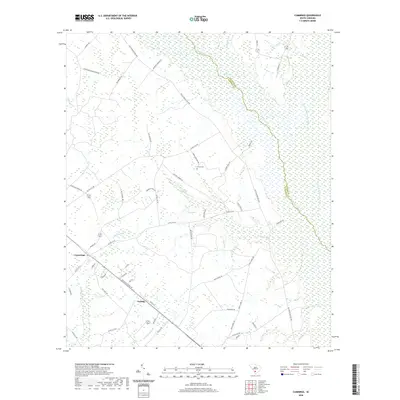
2020 Map of Cummings
USGS Topo · Published 2020About this map
The Salkehatchie River and its major tributary, the Little Salkehatchie River, form a massive wetland corridor along the border of Hampton and Colleton counties. This Lowcountry landscape is characterized by its complex hydrology, featuring numerous named branches and creeks like McPherson Cr and Tennants Br that feed into the river systems. The settlement pattern is scattered, with small communities such as Cummings and Fechtig connected by rural routes including Jerusalem Church Rd and the Old Salkehatchie Hwy.
Find a feature on this map
59 named features on this map. Tap any name to fly to it.
Don’t see what you’re looking for? This feature index may not catch every label — zoom into the map to look around manually.
Map Details
Editions of this 2020 Cummings Map
This is the sole edition of this map. No revisions or reprints were ever made.
Other maps of this area

1918 · Varnville
USGS Topo · 1:62,500

1918 · Yemassee
USGS Topo · 1:62,500

1919 · Pineland
USGS Topo · 1:62,500

1919 · Cummings
USGS Topo · 1:62,500

1943 · Pineland
USGS Topo · 1:62,500

1943 · Yemassee
USGS Topo · 1:62,500

1943 · Cummings
USGS Topo · 1:62,500

1944 · Varnville
USGS Topo · 1:62,500

1947 · Savannah
USGS Topo · 1:250,000

1948 · Savannah
USGS Topo · 1:250,000