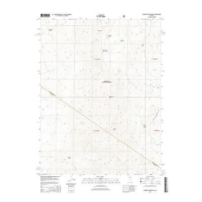
2014 Map of Currant Mountain
USGS Topo · Published 2014About this map
Humboldt National Forest encompasses the high-altitude terrain of the White Pine Range shown here in the early 21st century. The map is defined by the steep elevation changes between summits like Currant Mtn and Duckwater Peak, which tower over deep incisions such as Blackrock Canyon and Broom Canyon. This wilderness landscape is marked by a network of essential water sources including Limerock Spring, Saddle Spring, and Deer Spring, which have long served as vital points in this arid environment.
Find a feature on this map
23 named features on this map. Tap any name to fly to it.
Don’t see what you’re looking for? This feature index may not catch every label — zoom into the map to look around manually.
Map Details
Editions of this 2014 Currant Mountain Map
This is the sole edition of this map. No revisions or reprints were ever made.
Other maps of this area

1949 · Treasure Hill
USGS Topo · 1:62,500

1950 · Treasure Hill
USGS Topo · 1:62,500

1951 · Green Springs
USGS Topo · 1:62,500

1956 · Lund
USGS Topo · 1:250,000

1956 · Ely
USGS Topo · 1:250,000

1957 · Currant Mtn
USGS Topo · 1:62,500

1959 · Ely
USGS Topo · 1:250,000

1960 · Lund
USGS Topo · 1:250,000

1963 · Ely
USGS Topo · 1:250,000

1964 · Duckwater
USGS Topo · 1:62,500