
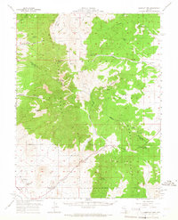
1957 Map of Currant Mtn
USGS Topo · Published 1958About this map
The high-desert terrain of the White Pine Range and the Horse Range dominates this mid-century survey, revealing a landscape defined by isolated springs and steep summits. Within the Humboldt National Forest, the topography rises sharply to Currant Mtn, while the lower elevations show the sparse but vital infrastructure of the era. The Currant Creek School and Angleworm Ranch serve as primary landmarks of habitation along the drainage of Currant Creek.
Find a feature on this map
44 named features on this map. Tap any name to fly to it.
Don’t see what you’re looking for? This feature index may not catch every label — zoom into the map to look around manually.
Map Details
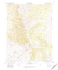
Editions of this 1957 Currant Mtn Map
3 editions found
Other maps of this area

1949 · Treasure Hill
USGS Topo · 1:62,500

1950 · Treasure Hill
USGS Topo · 1:62,500

1951 · Green Springs
USGS Topo · 1:62,500

1956 · Lund
USGS Topo · 1:250,000

1956 · Ely
USGS Topo · 1:250,000

1959 · Ely
USGS Topo · 1:250,000

1959 · Preston Reservoir
USGS Topo · 1:62,500

1960 · Lund
USGS Topo · 1:250,000

1963 · Ely
USGS Topo · 1:250,000

1964 · Blue Eagle Springs
USGS Topo · 1:62,500