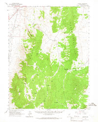
1964 Map of Currant Mtn
USGS Topo · Published 1965About this map
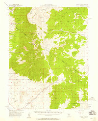
The Grant Range and Horse Range dominate this mid-1960s terrain, where deep canyons and high summits define the high desert landscape. The settlement of Currant sits in the northwest corner alongside the Midland Trail, serving as a vital waypoint for travelers through the Great Basin. Water sources are critical in this arid environment, evidenced by the numerous named seeps and springs like Beaty Spring, Log Spring, and Big Spring that sustain life between the peaks.
Find a feature on this map
40 named features on this map. Tap any name to fly to it.
Don’t see what you’re looking for? This feature index may not catch every label — zoom into the map to look around manually.
Map Details
Editions of this 1964 Currant Mtn Map
This is the sole edition of this map. No revisions or reprints were ever made.
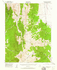
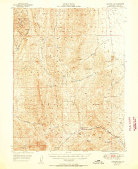
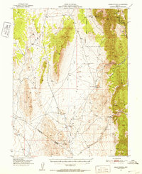
Other maps of this area
1949 · Treasure Hill
USGS Topo · 1:62,500
1950 · Treasure Hill
USGS Topo · 1:62,500
1951 · Green Springs
USGS Topo · 1:62,500

1956 · Lund
USGS Topo · 1:250,000

1956 · Ely
USGS Topo · 1:250,000
1957 · Currant Mtn
USGS Topo · 1:62,500

1959 · Ely
USGS Topo · 1:250,000

1959 · Preston Reservoir
USGS Topo · 1:62,500

1960 · Lund
USGS Topo · 1:250,000

1963 · Ely
USGS Topo · 1:250,000