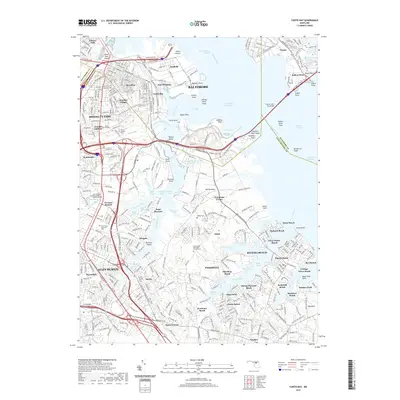
2019 Map of Curtis Bay
USGS Topo · Published 2019About this map
The industrial and maritime corridors of Baltimore and Glen Burnie meet at the Patapsco River, where the deep-water channels of the Curtis Bay Channel and Brewerton Channel facilitate heavy commercial transit. This 2019 survey captures the developed waterfronts of Fairfield and Wagners Point, linked to the broader metropolitan area by the engineering of the Harbor Tunnel and the Francis Scott Key Bridge. These infrastructure landmarks define the transition from the city’s urban core to the suburban residential peninsulas of Pasadena.
Find a feature on this map
100 named features on this map. Tap any name to fly to it.
Don’t see what you’re looking for? This feature index may not catch every label — zoom into the map to look around manually.
Map Details
Editions of this 2019 Curtis Bay Map
This is the sole edition of this map. No revisions or reprints were ever made.
Other maps of this area

1893 · North Point
USGS Topo · 1:62,500

1893 · Gunpowder
USGS Topo · 1:62,500

1894 · Baltimore
USGS Topo · 1:62,500

1894 · Relay
USGS Topo · 1:62,500

1898 · Tolchester
USGS Topo · 1:125,000

1899 · Baltimore
USGS Topo · 1:62,500

1901 · Gunpowder
USGS Topo · 1:62,500

1903 · Tolchester
USGS Topo · 1:125,000

1904 · Baltimore
USGS Topo · 1:62,500

1904 · North Point
USGS Topo · 1:62,500