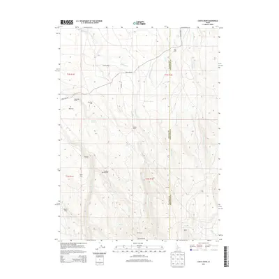
2013 Map of Curtis Draw
USGS Topo · Published 2013About this map
Devil Creek Ranch and Stanley Cabin anchor this high-desert landscape in southwestern Idaho, where the border between Owyhee and Twin Falls Counties follows the drainage of Devil Creek. The terrain is defined by complex seasonal water systems and volcanic geography, including the Elk Mountains in the south and the wide, arid expanse of Mud Flat to the west. Ranching heritage is evident through features like the Guerry Corral and named points such as Three Mile Crossing.
Find a feature on this map
39 named features on this map. Tap any name to fly to it.
Don’t see what you’re looking for? This feature index may not catch every label — zoom into the map to look around manually.
Map Details
Editions of this 2013 Curtis Draw Map
This is the sole edition of this map. No revisions or reprints were ever made.
Other maps of this area

1955 · Twin Falls
USGS Topo · 1:250,000

1955 · Wells
USGS Topo · 1:250,000

1957 · Contact
USGS Topo · 1:62,500

1957 · Elk Mountain
USGS Topo · 1:62,500

1958 · Wells
USGS Topo · 1:250,000

1958 · Twin Falls
USGS Topo · 1:250,000

1961 · Wells
USGS Topo · 1:250,000

1977 · Cedar Creek Reservoir
USGS Topo · 1:24,000

1978 · Taylor Canyon
USGS Topo · 1:24,000

1979 · Salls Crossing
USGS Topo · 1:24,000