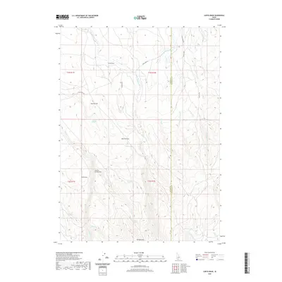
2020 Map of Curtis Draw
USGS Topo · Published 2020About this map
Elk Mountains dominate the southern landscape of this high-desert region, where the Owyhee Co Twin Falls Co line divides a network of drainage basins and vital water sources. The terrain is defined by a series of named draws and flats, most notably Curtis Draw and Mud Flat Draw, which channel seasonal runoff toward the complex headwaters of Devil Cr and Wilson Creek.
Find a feature on this map
31 named features on this map. Tap any name to fly to it.
Don’t see what you’re looking for? This feature index may not catch every label — zoom into the map to look around manually.
Map Details
Editions of this 2020 Curtis Draw Map
This is the sole edition of this map. No revisions or reprints were ever made.
Other maps of this area

1955 · Twin Falls
USGS Topo · 1:250,000

1955 · Wells
USGS Topo · 1:250,000

1957 · Contact
USGS Topo · 1:62,500

1957 · Elk Mountain
USGS Topo · 1:62,500

1958 · Wells
USGS Topo · 1:250,000

1958 · Twin Falls
USGS Topo · 1:250,000

1961 · Wells
USGS Topo · 1:250,000

1977 · Cedar Creek Reservoir
USGS Topo · 1:24,000

1978 · Taylor Canyon
USGS Topo · 1:24,000

1979 · Salls Crossing
USGS Topo · 1:24,000