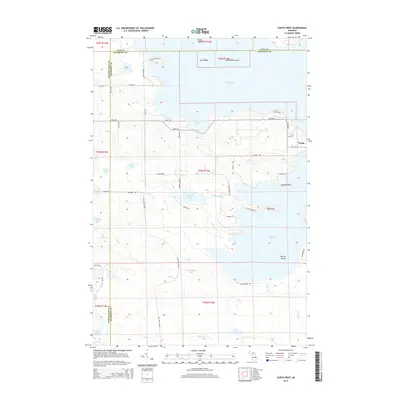
2014 Map of Curtis West
USGS Topo · Published 2014About this map
The settlement of Curtis serves as a central hub on this 2014 survey, positioned on the narrow isthmus between the expansive Manistique Lake and S Manistique Lake. This geography defines the local landscape, where numerous points and islands, including Norton Island and Gull Island, shape the shoreline. The map reveals a complex network of wetlands and smaller water bodies such as Shoepac Lake and Hempfield Lake, drained by the Shoepac River and Wolf Creek.
Find a feature on this map
94 named features on this map. Tap any name to fly to it.
Don’t see what you’re looking for? This feature index may not catch every label — zoom into the map to look around manually.
Map Details
Editions of this 2014 Curtis West Map
This is the sole edition of this map. No revisions or reprints were ever made.
Other maps of this area

1931 · Seney SW
USGS Topo · 1:31,680

1931 · Gould City NW
USGS Topo · 1:31,680

1931 · Blaney SW
USGS Topo · 1:31,680

1931 · Seney SE
USGS Topo · 1:31,680

1931 · Blaney NE
USGS Topo · 1:31,680

1931 · Blaney SE
USGS Topo · 1:31,680

1931 · Blaney NW
USGS Topo · 1:31,680

1954 · Sault Sainte Marie
USGS Topo · 1:250,000

1956 · Sault Sainte Marie
USGS Topo · 1:250,000

1957 · Sault Sainte Marie
USGS Topo · 1:250,000
Featured Places
- Newton Township, MI
- Germfask Township, MI
- Portage Township, MI
- Mueller Township, MI
- Lakefield Township, MI